Nalgonda district

Log in to your account

AroundUs is a community-driven map of interesting places, built by curious explorers like you. It grows with every review, story, and photo you share.
Connect to save your favorite spots, contribute locations, and create personalized routes.
Continue with Google
Continue with Apple
Continue with X
Continue with Facebook
Continue with email
By continuing, you accept our Terms and Conditions and our Privacy Policy
Create an account
Add to collection
Map
Suggest a change
Share

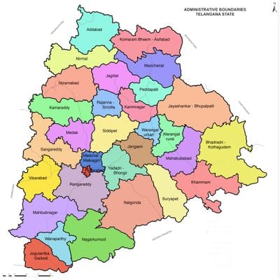
Nalgonda district, Administrative district in Telangana, India

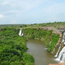
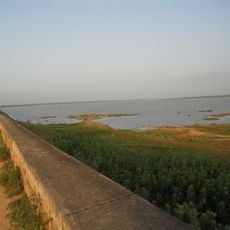
Nalgonda is an administrative district in Telangana that spans hills, valleys, and several rivers including the Krishna and Musi. The area is divided into 31 administrative units and around 565 villages, organized under Nalgonda, Miryalaguda, and Devarakonda.

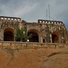
The area was originally called Neelagiri until it was renamed following the conquest by Allauddin Bahaman Shah, founder of the Bahmani Sultanate. This renaming coincided with an important period when sultanate rule reshaped the region's governance and structure.

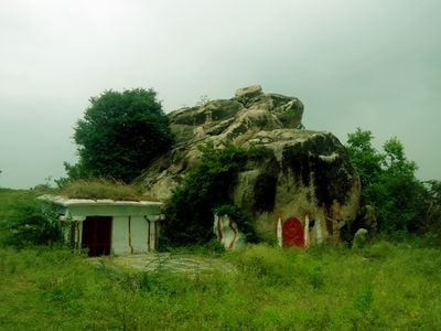
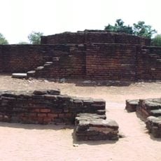
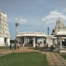
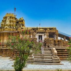
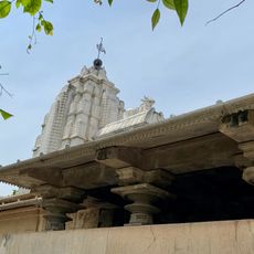
The area is culturally shaped by temples scattered throughout the landscape, and local festivals mark the rhythm of the year. Telugu is the language you hear in daily life, and traditional customs define how people in the region live together.

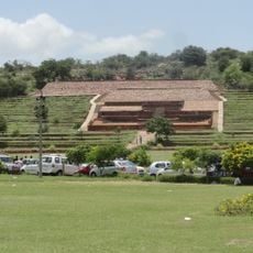
The region is best explored by visiting the different administrative centers, each with its own character and local features. For a visit, it helps to focus on the main hubs of Nalgonda, Miryalaguda, and Devarakonda, as these serve as key entry points to the area.

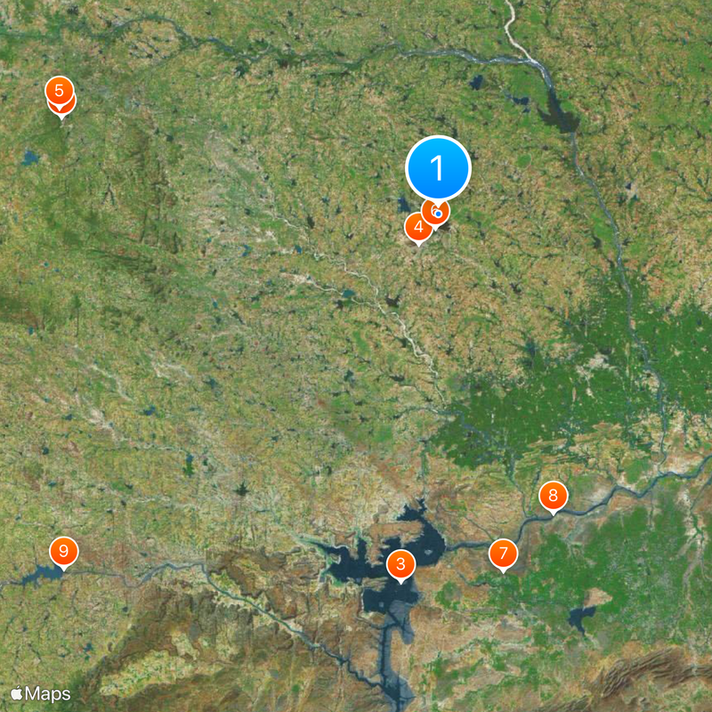
The area is shaped by river systems that have defined its landscape and settlement patterns, and these natural waterways continue to influence daily life. The Krishna and Musi rivers are not merely geographic features but also cultural anchors around which much of regional life revolves.

Location: Telangana

Capital city: Nalgonda

Shares border with: Medak district, Guntur district, Krishna district

Website: http://nalgonda.ap.nic.in

GPS coordinates: 17.10000,79.30000

Latest update: December 14, 2025 19:17

Photos
Reviews

Visited this place? Tap the stars to rate it and share your experience / photos with the community! Try now! You can cancel it anytime.

« Nalgonda district - Administrative district in Telangana, India » is provided by Around Us (aroundus.com). Images and texts are derived from Wikimedia project under a Creative Commons license. You are allowed to copy, distribute, and modify copies of this page, under the conditions set by the license, as long as this note is clearly visible.

Discover hidden gems everywhere you go!

From secret cafés to breathtaking viewpoints, skip the crowded tourist spots and find places that match your style. Our app makes it easy with voice search, smart filtering, route optimization, and insider tips from travelers worldwide. Download now for the complete mobile experience.

Around Us App Screenshot

A unique approach to discovering new places

Le Figaro

All the places worth exploring

France Info

A tailor-made excursion in just a few clicks

20 Minutes