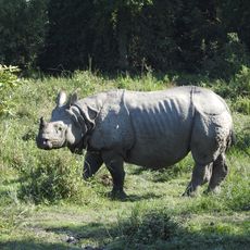
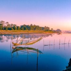
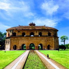
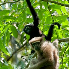
Papum Pare district, district of Arunachal Pradesh, India
Location: Arunachal Pradesh
Capital city: Yupia
Website: http://papumpare.nic.in/
Shares border with: East Kameng district, Lower Subansiri district, Kurung Kumey district, Kra Daadi district, Kamle district, Pakke-Kessang district, Lakhimpur district, Biswanath district
Website: http://papumpare.nic.in
GPS coordinates: 27.15000,93.72000
Latest update: March 4, 2025 05:10
Kaziranga National Park
65.1 km
Majuli
49.6 km
Rang Ghar
91.4 km
Pakhui Tiger Reserve
85.7 km
Garampani Wildlife Sanctuary
81.3 km
Hoollongapar Gibbon Sanctuary
81.6 km
Ita Fort
10.8 km
Dhekiakhowa Bornamghar
88.9 km
Namdang Stone Bridge
84.8 km
Shanti Ashram
82.3 km
Behali Reserved Forest
48.9 km
Negheriting Shiva Doul
54.2 km
Deopahar
61 km
Basudev Than
86.7 km
Jawaharlal Nehru State Museum
10.8 km
Raj Bhavan
9.9 km
Siva Doul
88.6 km
Burhi Gosani Devalaya Jorhat
65.6 km
Golaghat Baptist Church
73.8 km
মইনাপৰীয়া নামঘৰ
69.5 km
Chambang
70 km
Maghnowa Doul
22.7 km
Natural History Museum - Golaghat
75.1 km
Sakreswar
76.6 km
Gaurisagar Sivadol
84.2 km
Gaurisagar Tank
84.1 km
Gaurisagar Devidol
83.9 km
Gaurisagar Vishnudol
83.8 kmReviews
Visited this place? Tap the stars to rate it and share your experience / photos with the community! Try now! You can cancel it anytime.
Discover hidden gems everywhere you go!
From secret cafés to breathtaking viewpoints, skip the crowded tourist spots and find places that match your style. Our app makes it easy with voice search, smart filtering, route optimization, and insider tips from travelers worldwide. Download now for the complete mobile experience.
A unique approach to discovering new places❞
— Le Figaro
All the places worth exploring❞
— France Info
A tailor-made excursion in just a few clicks❞
— 20 Minutes