·

Enable Location

We need your location to show you interesting places around you

Discover nearby places

Find interesting locations and hidden gems around you

Precise directions

Get accurate directions and distances to places

Your location is never shared with other users. It's only used when you tap the location button.

Log in to your account

Start exploring — it's free

Trusted by 62,726 travelers worldwide

Continue with Google
Continue with Apple
or

We will send you a code to connect

By continuing, you accept our Terms and Conditions and our Privacy Policy

Check your inbox

We've sent a pincode in your inbox. Please enter the code below.

West Kameng district

West Kameng district, Administrative district in Arunachal Pradesh, India

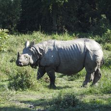
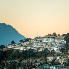
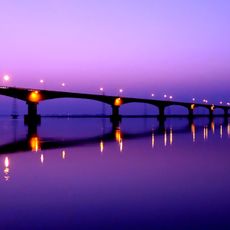
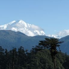
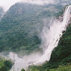
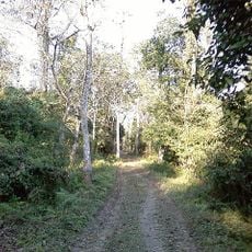
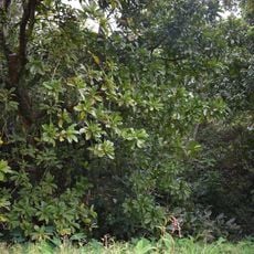
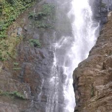
West Kameng is a district in Arunachal Pradesh that spreads across mountains with deep gorges and narrow valleys, ranging in altitude from 363 to 1906 meters. Bomdila serves as the administrative center and sits within this mountainous terrain marked by striking gorges.

The region was first organized as the Balipara Frontier Tract, which was reshaped in 1919 and later became the Kameng Frontier Division after India's independence. In 1980, the division split into two parts, creating West Kameng as a separate district.

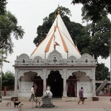
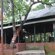
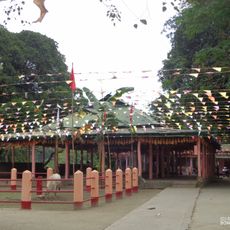
The Monpa, Nyishi, Aka, Miji, and Puroik communities live here and mark their year with festivals like Losar and Chalo Loku. Their traditional wooden houses dot the hillsides, and you encounter their crafts and daily customs in the local markets.

Getting here requires travel from Guwahati or Tezpur through mountain passes. Bomdila offers the main lodging options and works as a base for exploring the surrounding area.

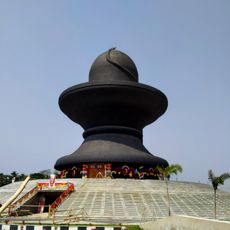
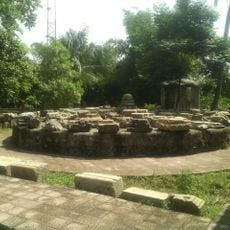
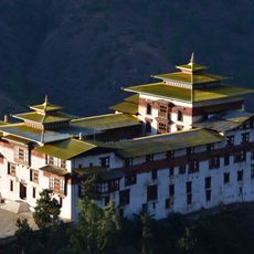
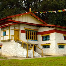
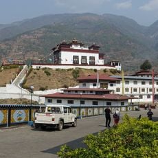
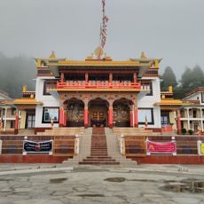
Several Buddhist monasteries such as Dirang and Bomdila stand visible in the mountains and shape the religious life here. The region also borders Tibet and Bhutan, giving it a distinctive geographic position.

The community of curious travelers

AroundUs brings together thousands of curated places, local tips, and hidden gems, enriched daily by 60,000 contributors worldwide.

Start exploring
Capital city
Bomdila
Shares border with
Udalguri district, East Kameng district, Tawang district
GPS coordinates
27.25000,92.40000
Latest update
December 7, 2025 20:43
« West Kameng district - Administrative district in Arunachal Pradesh, India » is provided by Around Us (aroundus.com). Images and texts are derived from Wikimedia project under a Creative Commons license. You are allowed to copy, distribute, and modify copies of this page, under the conditions set by the license, as long as this note is clearly visible.

Discover hidden gems everywhere you go!

From secret cafés to breathtaking viewpoints, skip the crowded tourist spots and find places that match your style. Our app makes it easy with voice search, smart filtering, route optimization, and insider tips from travelers worldwide. Download now for the complete mobile experience.

Around Us App Screenshot

A unique approach to discovering new places

Le Figaro

All the places worth exploring

France Info

A tailor-made excursion in just a few clicks

20 Minutes

Around Us
Travel Guide & Maps
Download

Send to your phone

QR Code
1

Open the camera app on your mobile.

2

Point at the QR code with your camera. A notification will appear.

3

Tap the notification to open the link.