Nalbari district

Log in to your account

AroundUs is a community-driven map of interesting places, built by curious explorers like you. It grows with every review, story, and photo you share.
Connect to save your favorite spots, contribute locations, and create personalized routes.
By continuing, you accept our Terms and Conditions and our Privacy Policy

Nalbari district

Add to collection
Map
Suggest a change
Share

Nalbari district, Administrative district in Lower Assam, India.

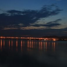
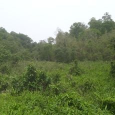
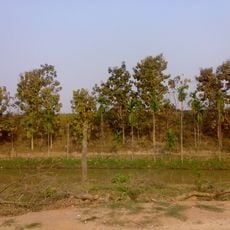
Nalbari district spreads across the Brahmaputra Valley as a region of farms, water bodies, and settlements connected by roads. The landscape is shaped by agricultural activities and fishing, which are central to how people live and work.

The northern areas were long governed by the Kingdom of Bhutan before major territorial changes in the mid-1800s reshaped the region. It became an official district in 1985 when the current administrative structure was established.

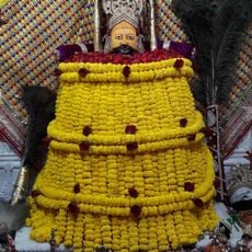
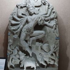
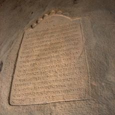
Hindu and Islamic traditions shape daily life here, with Assamese as the primary language heard in markets and homes. Visitors can observe religious gatherings and celebrations that reflect the community's spiritual practices.

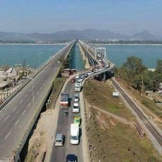
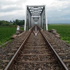
The district is linked by roads to major cities in Assam, making travel and supply accessible. Schools, markets, and hospitals are scattered throughout, serving both town and village residents with basic services.

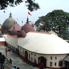
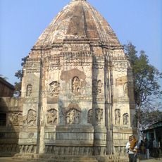
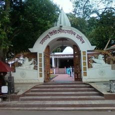
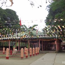
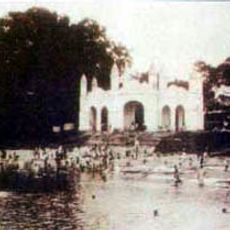
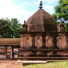
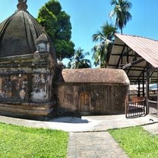
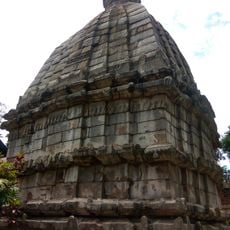
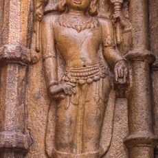
The Billeswar Devalaya temple and Ganga Pukhuri pond are gathering places where the community comes together during certain times of year for traditional events. These sites reveal how spiritual life is woven into the rhythm of community gatherings.

Location: Lower Assam division

Capital city: Nalbari

Shares border with: Baksa district

Website: http://nalbari.nic.in

GPS coordinates: 26.45000,91.44000

Latest update: December 7, 2025 20:45

Photos
Reviews

Visited this place? Tap the stars to rate it and share your experience / photos with the community! Try now! You can cancel it anytime.

« Nalbari district - Administrative district in Lower Assam, India » is provided by Around Us (aroundus.com). Images and texts are derived from Wikimedia project under a Creative Commons license. You are allowed to copy, distribute, and modify copies of this page, under the conditions set by the license, as long as this note is clearly visible.

Discover hidden gems everywhere you go!

From secret cafés to breathtaking viewpoints, skip the crowded tourist spots and find places that match your style. Our app makes it easy with voice search, smart filtering, route optimization, and insider tips from travelers worldwide. Download now for the complete mobile experience.

Around Us App Screenshot

A unique approach to discovering new places

Le Figaro

All the places worth exploring

France Info

A tailor-made excursion in just a few clicks

20 Minutes