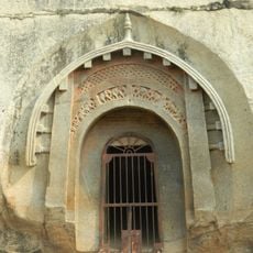
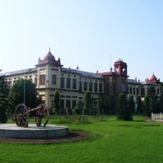
Arwal district, Administrative district in Magadh division, Bihar, India
Arwal district is an administrative division in the Magadh region of Bihar, encompassing farmland, villages, and government offices across its territory. The landscape is shaped by agricultural activity, with farms and settlements forming the backbone of daily life.
The district was established in 1994 as an independent administrative unit when it was separated from Jehanabad to improve local governance. This creation marked a turning point for the region's separate development.
Residents speak Magahi as their primary language, a tongue deeply rooted in local daily life and community interactions. This language shapes how people connect with each other across villages and towns.
The administrative center in Arwal town offers access to basic services and connects to larger cities via road networks. The district is best explored by road, which serves as the primary transport route for both residents and travelers.
Shallow groundwater throughout the region allows hand pumps to operate effectively in many settlements. This reliable water source has sustained communities across the district.
Location: Magadh division
Capital city: Arwal
Shares border with: Patna district, Aurangabad district
Website: http://arwal.bih.nic.in
GPS coordinates: 25.24000,84.67000
Latest update: December 7, 2025 19:27
Barabar Caves
47.5 km
Golghar
63.4 kmSanjay Gandhi Biological Park
58.6 km
Mahavir Mandir
62 km
Bihar Museum
61.1 km
Lomas Rishi Cave
47.6 km
Patna Museum
63.1 km
Patliputra Sports Complex
62.7 km
Koilwar Bridge
38.5 km
Statue of Mahatma Gandhi
63.5 km
Ara–Chhapra Bridge
56.2 km
Biscomaun Bhawan
63.4 km
Buddha Smriti Park
62.1 km
Nehru Setu
59.9 km
Sabhyata Dwar
63.9 km
Martyr's Memorial Patna
64.7 km
Maurya Lok
62.2 km
Jawahar Setu
60.2 km
Sher Shah Suri Masjid
63.1 kmPathar ki Masjid
63.1 kmGeneral Post Office, Patna
61.6 km
Shrikrishna Science Centre
63.1 km
Sudama Cave
46.9 km
Maner Tank
49 km
Kauwadol hill boulder sculptures near east face
45.5 km
Maner mound and brick walls near survey plot 399
49.9 km
Kurisarai ruins
45.3 km
Lat pillar
51.9 kmVisited this place? Tap the stars to rate it and share your experience / photos with the community! Try now! You can cancel it anytime.
Discover hidden gems everywhere you go!
From secret cafés to breathtaking viewpoints, skip the crowded tourist spots and find places that match your style. Our app makes it easy with voice search, smart filtering, route optimization, and insider tips from travelers worldwide. Download now for the complete mobile experience.
A unique approach to discovering new places❞
— Le Figaro
All the places worth exploring❞
— France Info
A tailor-made excursion in just a few clicks❞
— 20 Minutes