Satara, Administrative center in Satara district, India
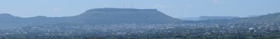
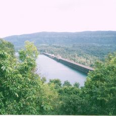
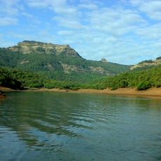
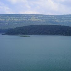
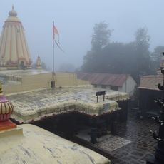
Satara sits where the Krishna and Venna rivers meet, on the western Deccan plateau at about 742 meters elevation. The city spreads across gentle hills, with residential neighborhoods reaching toward the riverbanks while the older center remains more tightly built.
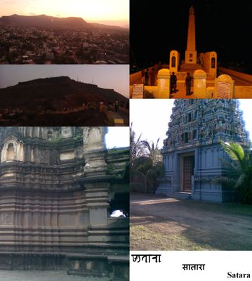
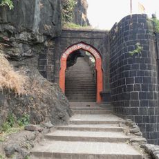
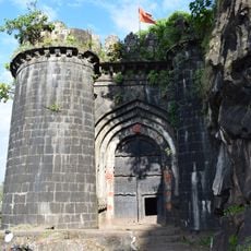
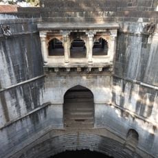
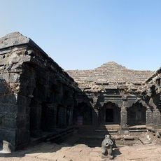
The city became capital of the Maratha Empire in 1708, when Chattrapati Shahu moved into the fortress after years held by the Mughals. This role as a seat of power shaped the layout and importance of the surrounding fortifications for generations.
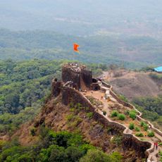
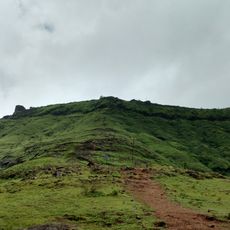
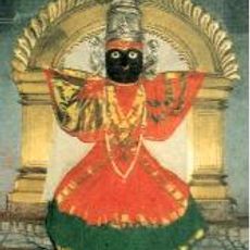
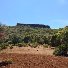
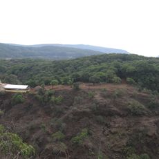
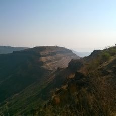
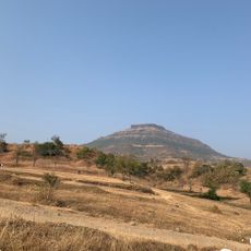
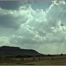
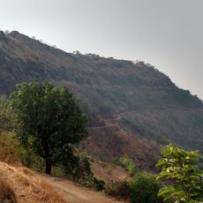
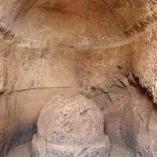
The name comes from seven mountain fortresses ringing the valley, which remain part of how people here understand their surroundings. Locals often hike to these old strongholds on weekends, keeping them woven into daily life and memory.
National Highway 48 links the city with Pune, Sangli, Kolhapur, and Solapur, making regular bus travel across the region straightforward. Visitors heading to the surrounding hills should start early in the day, as paths grow steep and afternoon sun can be intense.
In 2015, the city hosted the largest recorded mountain run, with over 2,600 participants gathering for the event. This record brought international attention and showed how deeply the surrounding hills remain part of everyday life here.
The community of curious travelers
AroundUs brings together thousands of curated places, local tips, and hidden gems, enriched daily by 60,000 contributors worldwide.