Enable Location

We need your location to show you interesting places around you

Discover nearby places

Find interesting locations and hidden gems around you

Precise directions

Get accurate directions and distances to places

Your location is never shared with other users. It's only used when you tap the location button.

Satara district

Log in to your account

Start exploring — it's free

Trusted by 62,865 travelers worldwide

Continue with Google
Continue with Apple
or

We will send you a code to connect

By continuing, you accept our Terms and Conditions and our Privacy Policy

Check your inbox

We've sent a pincode in your inbox. Please enter the code below.

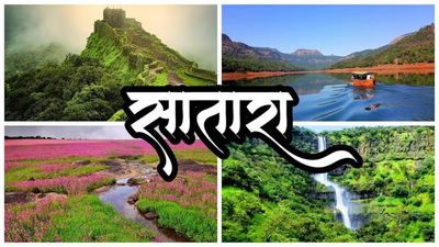
Satara district, Administrative district in Maharashtra, India

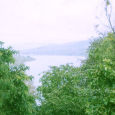
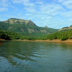
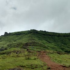
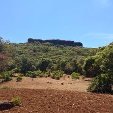
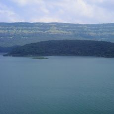
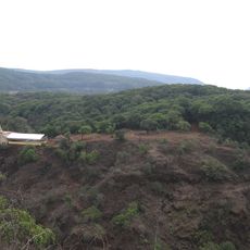
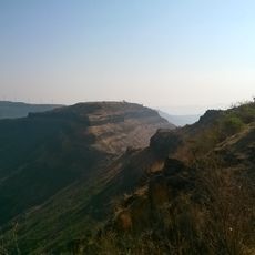
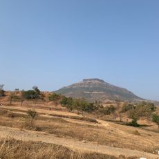
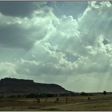
Satara is an administrative district in the Pune division of western Maharashtra, stretching across mountain ranges and wide river valleys. The area contains dry-land zones in the east, rainforest zones in the western hills, and cultivated plains around several river courses.

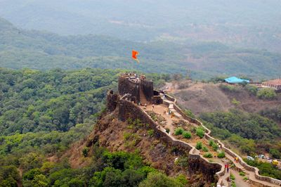
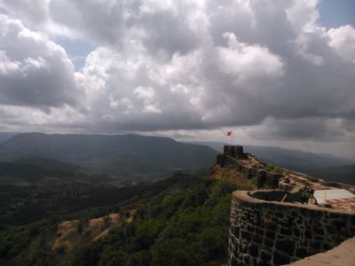
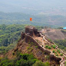
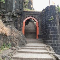
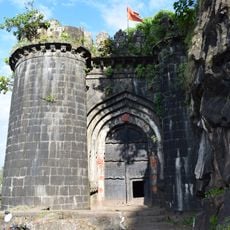
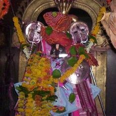
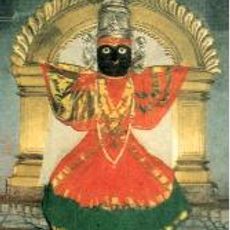
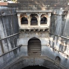
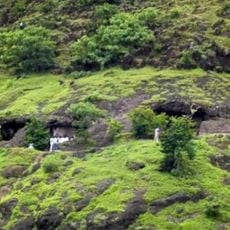
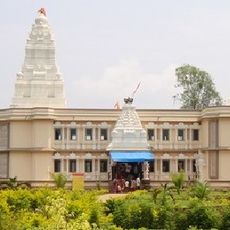
Administration shifted from the Bombay Presidency before 1947 to Bombay State until 1960, when Maharashtra emerged as a separate state. Older forts and temples on the hills recall earlier dynasties that ruled the region over centuries.

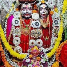
Markets in the area sell peanut preparations and locally grown sugarcane varieties used widely in traditional kitchens. On religious festival days residents gather along the river islands to share communal meals under tree canopies and repeat old chants.

Public buses connect towns inside the district with main roads leading to Pune and Kolhapur. Visitors should carry water bottles because some higher-lying parts are remote and it rains frequently during the monsoon.

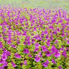
A high plateau nearby turns into a sea of flowers during the rainy season with more than eight hundred and fifty plant species. Visitors find meadows full of orchids and carnivorous plants that are not visible in such abundance at any other time of the year.

The community of curious travelers

AroundUs brings together thousands of curated places, local tips, and hidden gems, enriched daily by 60,000 contributors worldwide.

Start exploring
Location
Capital city
Satara
Shares border with
Raigad district
GPS coordinates
17.70000,74.00000
Latest update
December 13, 2025 18:43
« Satara district - Administrative district in Maharashtra, India » is provided by Around Us (aroundus.com). Images and texts are derived from Wikimedia project under a Creative Commons license. You are allowed to copy, distribute, and modify copies of this page, under the conditions set by the license, as long as this note is clearly visible.

Discover hidden gems everywhere you go!

From secret cafés to breathtaking viewpoints, skip the crowded tourist spots and find places that match your style. Our app makes it easy with voice search, smart filtering, route optimization, and insider tips from travelers worldwide. Download now for the complete mobile experience.

Around Us App Screenshot

A unique approach to discovering new places

Le Figaro

All the places worth exploring

France Info

A tailor-made excursion in just a few clicks

20 Minutes

Around Us
Travel Guide & Maps
Download

Send to your phone

QR Code
1

Open the camera app on your mobile.

2

Point at the QR code with your camera. A notification will appear.

3

Tap the notification to open the link.