·

Enable Location

We need your location to show you interesting places around you

Discover nearby places

Find interesting locations and hidden gems around you

Precise directions

Get accurate directions and distances to places

Your location is never shared with other users. It's only used when you tap the location button.

Log in to your account

Start exploring — it's free

Trusted by 62,655 travelers worldwide

Continue with Google
Continue with Apple
or

We will send you a code to connect

By continuing, you accept our Terms and Conditions and our Privacy Policy

Check your inbox

We've sent a pincode in your inbox. Please enter the code below.

Sirohi district, Administrative district in Rajasthan, India

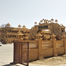
Sirohi is an administrative district in western Rajasthan that encompasses parts of the Aravalli mountain range and surrounding terrain. The region contains several towns and administrative subdivisions scattered across hilly and flatter areas.

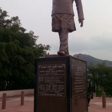
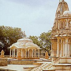
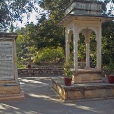
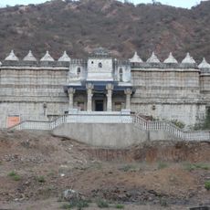
The region was founded in the 15th century when a settlement on a hilltop was established as an administrative center. Over time, it developed into a significant area under various local rulers.

Sword craftsmanship remains a living tradition here, passed down through families who continue making these distinctive weapons. Local workshops showcase artisans at work, keeping skills and methods alive that have defined the region for centuries.

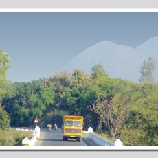
The area is best explored by car or public buses, as distances between towns are considerable. Most visitors combine time here with journeys to better-known destinations in the region.

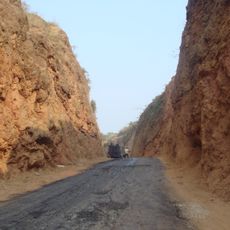
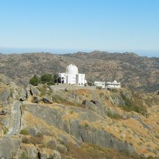
A highland range cuts through the territory, dividing areas into different climate zones with noticeable differences between north and south. This geographical split shapes which plants thrive and how the landscape appears across the region.

The community of curious travelers

AroundUs brings together thousands of curated places, local tips, and hidden gems, enriched daily by 60,000 contributors worldwide.

Start exploring
Location
Capital city
Sirohi
Shares border with
Banaskantha district
GPS coordinates
24.88500,72.86250
Latest update
December 7, 2025 19:23
« Sirohi district - Administrative district in Rajasthan, India » is provided by Around Us (aroundus.com). Images and texts are derived from Wikimedia project under a Creative Commons license. You are allowed to copy, distribute, and modify copies of this page, under the conditions set by the license, as long as this note is clearly visible.

Discover hidden gems everywhere you go!

From secret cafés to breathtaking viewpoints, skip the crowded tourist spots and find places that match your style. Our app makes it easy with voice search, smart filtering, route optimization, and insider tips from travelers worldwide. Download now for the complete mobile experience.

Around Us App Screenshot

A unique approach to discovering new places

Le Figaro

All the places worth exploring

France Info

A tailor-made excursion in just a few clicks

20 Minutes

Around Us
Travel Guide & Maps
Download

Send to your phone

QR Code
1

Open the camera app on your mobile.

2

Point at the QR code with your camera. A notification will appear.

3

Tap the notification to open the link.