Chest opened
+${chestReward.xp} XP
Explorer
NOUVEAU ×${chestReward.collectible.quantity}
tapez pour fermer
Chest locked

Open chests in the app

Around Us is built for your phone — chests unlock when you walk, explore and capture nearby places.

Enable Location

We need your location to show you interesting places around you

Discover nearby places

Find interesting locations and hidden gems around you

Precise directions

Get accurate directions and distances to places

Your location is never shared with other users. It's only used when you tap the location button.

Rohtang Pass

Log in to your account

Start exploring — it's free

Trusted by 72,881 travelers worldwide

Continue with Google
Continue with Apple
or

We will send you a code to connect

By continuing, you accept our Terms and Conditions and our Privacy Policy

Check your inbox

We've sent a pincode in your inbox. Please enter the code below.

Rohtang Pass
Discussion Reviews 1 Photos
184k Popularity

Rohtang Pass, Mountain pass in Himachal Pradesh, India

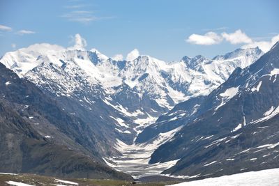
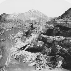
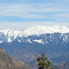
Rohtang Pass sits at 3,978 meters (13,051 feet) in the eastern Pir Panjal Range, linking Kullu Valley with Lahaul. The road winds through bare mountain slopes and crosses snowfields that often remain visible well into summer.

Traders used this route for centuries to move between valleys, with many losing their lives to sudden snowstorms. The opening of the Atal Tunnel in 2020 provided safe winter passage for the first time.

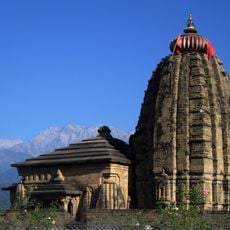
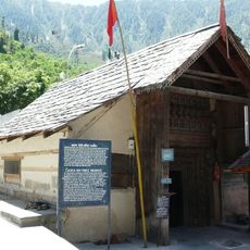
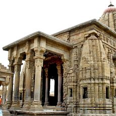
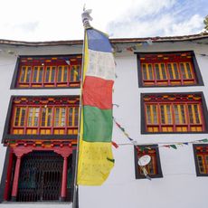
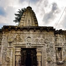
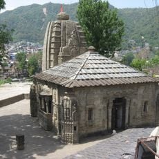
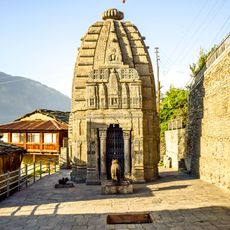
Local guides often explain that the pass separates two distinct ways of life, with prayer flags appearing on the northern descent. Travelers notice the shift from wooden temples to monasteries as they cross from one valley into the other.

The road over the pass is usually open from May to November, though snow and ice change conditions depending on the season. Warm clothing is necessary even in summer, as temperature drops quickly and strong wind is common.

At the top, the pass marks a watershed dividing two major river systems, with the Beas emerging underground to the south. The Chandra flows westward on the northern side and later forms the Chenab.

The community of curious travelers

AroundUs brings together thousands of curated places, local tips, and hidden gems, enriched daily by 60,000 contributors worldwide.

Start exploring
Location
Elevation above the sea
3,978 m
GPS coordinates
32.37139,77.24639
Latest update
December 12, 2025 20:42
Reviews
Share your experience

No review yet

Discussions
Start a discussion...

No discussion yet

« Rohtang Pass - Mountain pass in Himachal Pradesh, India » is provided by Around Us (aroundus.com). Images and texts are derived from Wikimedia project under a Creative Commons license. You are allowed to copy, distribute, and modify copies of this page, under the conditions set by the license, as long as this note is clearly visible.

Discover hidden gems everywhere you go!

From secret cafés to breathtaking viewpoints, skip the crowded tourist spots and find places that match your style. Our app makes it easy with voice search, smart filtering, route optimization, and insider tips from travelers worldwide. Download now for the complete mobile experience.

Around Us App Screenshot

A unique approach to discovering new places

Le Figaro

All the places worth exploring

France Info

A tailor-made excursion in just a few clicks

20 Minutes

Around Us
Travel Guide & Maps
Download

Send to your phone

QR Code
1

Open the camera app on your mobile.

2

Point at the QR code with your camera. A notification will appear.

3

Tap the notification to open the link.