Enable Location

We need your location to show you interesting places around you

Discover nearby places

Find interesting locations and hidden gems around you

Precise directions

Get accurate directions and distances to places

Your location is never shared with other users. It's only used when you tap the location button.

Log in to your account

Start exploring — it's free

Trusted by 62,491 travelers worldwide

Continue with Google
Continue with Apple
or

We will send you a code to connect

By continuing, you accept our Terms and Conditions and our Privacy Policy

Check your inbox

We've sent a pincode in your inbox. Please enter the code below.

Sambalpur district

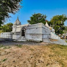
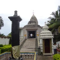
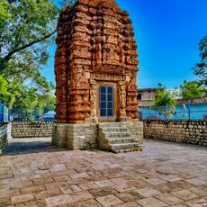
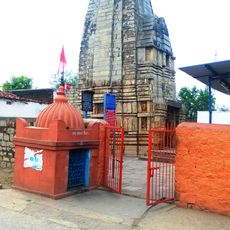
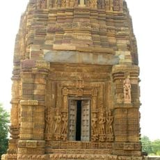
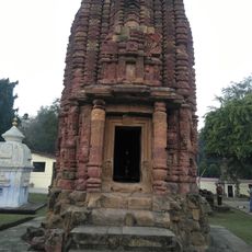
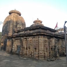
Sambalpur district, Administrative district in Northern division, India

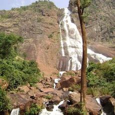
Sambalpur district is located in western Odisha and covers an area of about 6,700 square kilometers with dense forests covering more than half of its territory. This forested landscape shapes the region's geography and ecology significantly.

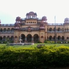
The area served as a major diamond trading center until the early 1600s and appears in writings by the ancient geographer Ptolemy from the 2nd century. This long presence in historical records shows the region's early importance.

The district is known for Sambalpuri sarees, traditional handwoven textiles with patterns that reflect the local artistic heritage of Odisha and continue to be made by weavers today.

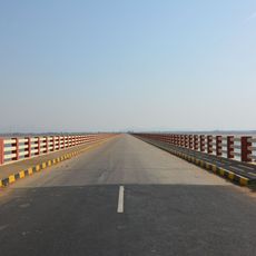
The district is well connected by a network of railways and roads, with the city of Sambalpur serving as a hub to other major urban centers in Odisha. Visitors should check on local travel conditions before journeys, as rural areas may have varying infrastructure.

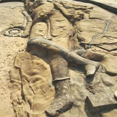
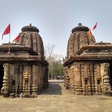
Archaeological excavations near Kuchinda have uncovered stone tools from the Paleolithic period, revealing that humans inhabited this area since ancient times. These findings provide insight into the region's deep settlement history.

The community of curious travelers

AroundUs brings together thousands of curated places, local tips, and hidden gems, enriched daily by 60,000 contributors worldwide.

Start exploring
Location
Northern division
Capital city
Sambalpur
Shares border with
Jharsuguda district, Debagarh district
GPS coordinates
21.46600,83.98300
Latest update
December 7, 2025 10:07
« Sambalpur district - Administrative district in Northern division, India » is provided by Around Us (aroundus.com). Images and texts are derived from Wikimedia project under a Creative Commons license. You are allowed to copy, distribute, and modify copies of this page, under the conditions set by the license, as long as this note is clearly visible.

Discover hidden gems everywhere you go!

From secret cafés to breathtaking viewpoints, skip the crowded tourist spots and find places that match your style. Our app makes it easy with voice search, smart filtering, route optimization, and insider tips from travelers worldwide. Download now for the complete mobile experience.

Around Us App Screenshot

A unique approach to discovering new places

Le Figaro

All the places worth exploring

France Info

A tailor-made excursion in just a few clicks

20 Minutes

Around Us
Travel Guide & Maps
Download

Send to your phone

QR Code
1

Open the camera app on your mobile.

2

Point at the QR code with your camera. A notification will appear.

3

Tap the notification to open the link.