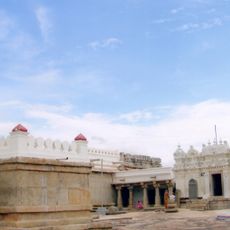
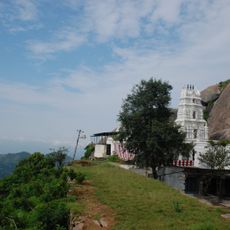
Tumkur district, Administrative district in Karnataka, India
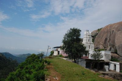
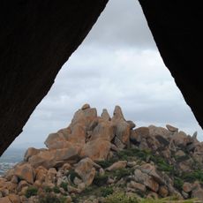
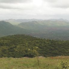
Tumkur district is an administrative region in Karnataka covering terrain with plateaus, green fields, and several rivers. The area contains multiple taluks and smaller administrative divisions that together form a network of rural and urban settlements.
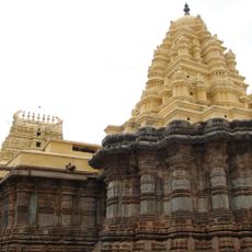
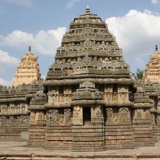
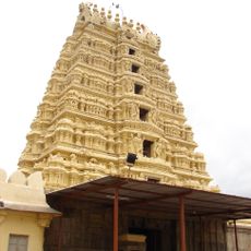
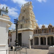
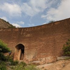
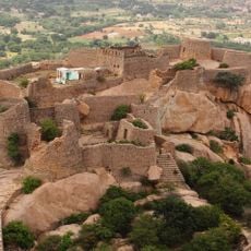
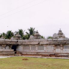
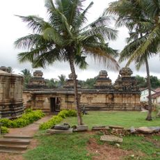
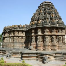
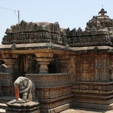
The region was ruled by the Nidugal Cholas from the 8th to 13th century, a dynasty that shaped the area's early development. Later British administration reorganized the territory and established boundaries that remain influential today.
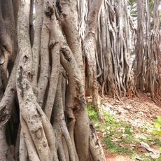
The name comes from a Sanskrit word meaning a tree with many fruits, reflecting the region's agricultural heart. This farming character shapes daily life and the landscape you see throughout the area.
Two major highways connect the district to surrounding areas and larger cities in the region. Bus and rail services also operate across the district, making travel between different parts manageable for visitors.
The district gained its name from large-scale coconut farming that shaped the region and remains visible in groves across the landscape today. This agricultural legacy continues to influence how communities develop and use their land.
The community of curious travelers
AroundUs brings together thousands of curated places, local tips, and hidden gems, enriched daily by 60,000 contributors worldwide.