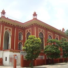
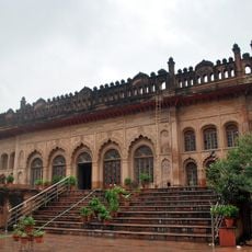
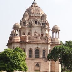
Raebareli district, Administrative district in Lucknow division, India.
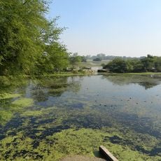
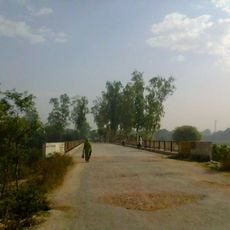
Raebareli district is an administrative region in northern India characterized by flat, open terrain and a major river boundary. The Ganges forms its southern edge and shapes the landscape across the entire area.
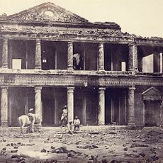
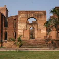
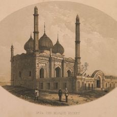
The district took its current administrative form in the 19th century after British takeover. Before that, local rulers and clans held control of the area for centuries, shaping its medieval character.
Agriculture shapes the everyday life and rhythms here, with farming traditions deeply rooted in how people work the land. Walking through villages, you notice how communities are closely tied to their fields and the seasonal cycles that govern their year.
The area connects well to major cities through both road and rail networks, making travel straightforward. Getting around is relatively easy whether arriving from outside or moving within the region.
The area has deep ties to India's independence movement and played a notable role in the nation's modern history. Local places still carry traces of these significant moments.
The community of curious travelers
AroundUs brings together thousands of curated places, local tips, and hidden gems, enriched daily by 60,000 contributors worldwide.