Chest opened
+${chestReward.xp} XP
Explorer
NOUVEAU ×${chestReward.collectible.quantity}
tapez pour fermer
Chest locked

Open chests in the app

Around Us is built for your phone — chests unlock when you walk, explore and capture nearby places.

Enable Location

We need your location to show you interesting places around you

Discover nearby places

Find interesting locations and hidden gems around you

Precise directions

Get accurate directions and distances to places

Your location is never shared with other users. It's only used when you tap the location button.

Rajpipla

Log in to your account

Start exploring — it's free

Trusted by 72,885 travelers worldwide

Continue with Google
Continue with Apple
or

We will send you a code to connect

By continuing, you accept our Terms and Conditions and our Privacy Policy

Check your inbox

We've sent a pincode in your inbox. Please enter the code below.

Rajpipla
Discussion Reviews 1 Photos
25.2k Popularity

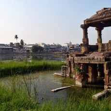
Rajpipla, Administrative town in Narmada district, Gujarat, India

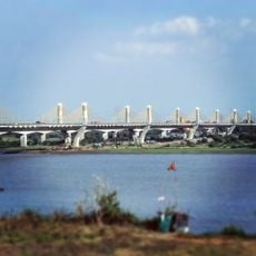
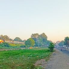
Rajpipla is a town in the Narmada district of Gujarat, situated in fertile plains between the Narmada and Tapti rivers. It occupies land that slopes gently, with agricultural areas forming much of the surrounding landscape.

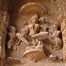
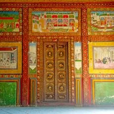
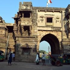
The town served as a princely state from 1340 until 1948 under the rule of the Gohil Rajput dynasty. It was the largest territory within the Rewa Kantha administrative region during that period.

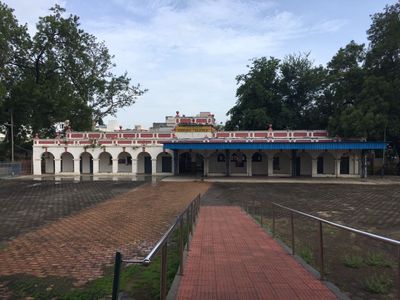
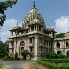
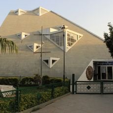
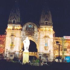
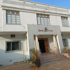
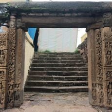
The Shri Harsiddhi Mataji Temple serves as the spiritual heart of the town, where you can observe locals performing prayers and gathering during festivals. Walking through the streets, you sense how deeply faith is woven into daily life here.

The town is relatively flat and easy to navigate on foot, with most areas readily accessible to visitors. You will find local transport options and basic facilities, though the setting remains rural in character.

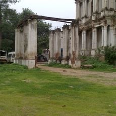
A maharaja commissioned an airfield along the Karjan River during the 1920s that reflected the region's early interest in aviation. This historic airfield site is now being redeveloped to attract visitors.

The community of curious travelers

AroundUs brings together thousands of curated places, local tips, and hidden gems, enriched daily by 60,000 contributors worldwide.

Start exploring
Location
Nandod Taluka
Location
Elevation above the sea
148 m
GPS coordinates
21.87037,73.50257
Latest update
December 20, 2025 11:25
Reviews
Share your experience

No review yet

Discussions
Start a discussion...

No discussion yet

« Rajpipla - Administrative town in Narmada district, Gujarat, India » is provided by Around Us (aroundus.com). Images and texts are derived from Wikimedia project under a Creative Commons license. You are allowed to copy, distribute, and modify copies of this page, under the conditions set by the license, as long as this note is clearly visible.

Discover hidden gems everywhere you go!

From secret cafés to breathtaking viewpoints, skip the crowded tourist spots and find places that match your style. Our app makes it easy with voice search, smart filtering, route optimization, and insider tips from travelers worldwide. Download now for the complete mobile experience.

Around Us App Screenshot

A unique approach to discovering new places

Le Figaro

All the places worth exploring

France Info

A tailor-made excursion in just a few clicks

20 Minutes

Around Us
Travel Guide & Maps
Download

Send to your phone

QR Code
1

Open the camera app on your mobile.

2

Point at the QR code with your camera. A notification will appear.

3

Tap the notification to open the link.