Siachen Glacier

Log in to your account

AroundUs is a community-driven map of interesting places, built by curious explorers like you. It grows with every review, story, and photo you share.
Connect to save your favorite spots, contribute locations, and create personalized routes.
By continuing, you accept our Terms and Conditions and our Privacy Policy
Add to collection
Map
Suggest a change
Share

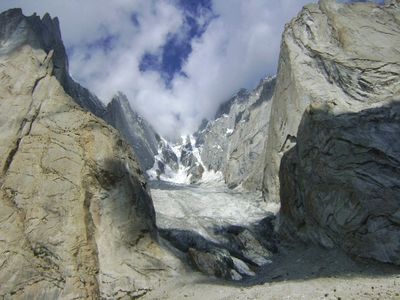
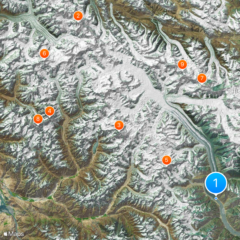
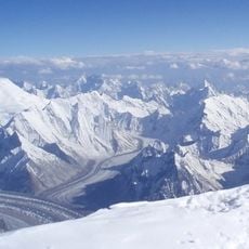
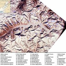
Siachen Glacier, Disputed glacier in Karakoram Range, India.

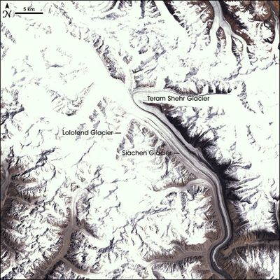
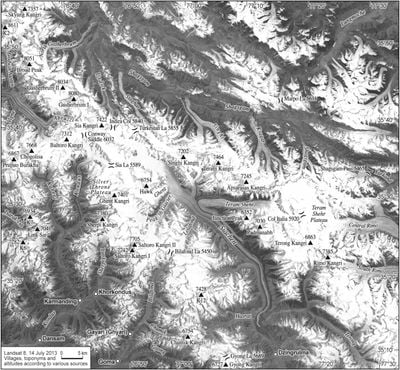
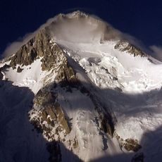
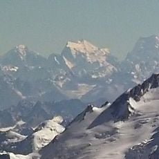
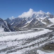
Siachen Glacier stretches 75 kilometers through the Karakoram mountains, forming a natural barrier between India and Pakistan at elevations reaching 6,115 meters (20,100 feet). The ice field feeds several rivers and sits within a zone that has been militarily occupied by both countries for decades.

British explorer Henry Strachey documented the first detailed report of the glacier in 1848, leading to subsequent mapping expeditions in the early 1900s. Since 1984, the area has been the site of a prolonged standoff between Indian and Pakistani forces.

The name comes from Balti words, combining sia for wild roses with chen meaning abundance, pointing to the land where these flowers grow. Military personnel on both sides view service here as one of the most demanding tests soldiers can face in extreme altitude and cold.

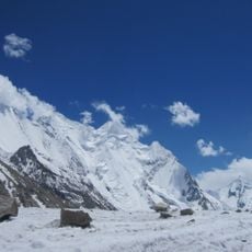
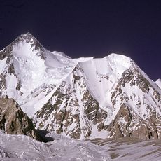
The area remains closed to civilian visitors and is accessible only to military personnel with specialized equipment for temperatures dropping to minus 50 degrees Celsius (minus 58 Fahrenheit) and altitudes exceeding 16,400 feet (5,000 meters). Any activity requires acclimatization and strict medical monitoring due to life-threatening conditions.

The ice field is recognized as the highest battlefield on Earth, where environmental conditions have caused more casualties than direct military confrontations since 1984. Helicopters can land here only on a handful of days each year because thin air and fierce winds make flight operations nearly impossible.

GPS coordinates: 35.19861,77.20139

Latest update: December 3, 2025 07:39

Photos
Glaciers worldwide: Perito Moreno, Jostedalsbreen, Vatnajökull

Glaciers represent some of the most remarkable natural formations on Earth. These ice masses form over centuries through the compression of snow and move slowly through valleys and across mountain slopes. They shape landscapes from the Patagonian Andes to Arctic regions and store approximately 70 percent of the world's freshwater. The Perito Moreno Glacier in Argentina covers 250 square kilometers and ranks among the few glaciers currently not retreating. The Jostedalsbreen in Norway forms the largest ice mass on mainland Europe at 487 square kilometers. The Vatnajökull in Iceland covers eight percent of the country's land area and conceals several active volcanoes beneath its ice cap. These glaciers serve science as climate archives and demonstrate through their changes the effects of rising temperatures. Many glaciers worldwide continuously lose mass, which has consequences for water supply and sea levels.

Reviews

Visited this place? Tap the stars to rate it and share your experience / photos with the community! Try now! You can cancel it anytime.

« Siachen Glacier - Disputed glacier in Karakoram Range, India » is provided by Around Us (aroundus.com). Images and texts are derived from Wikimedia project under a Creative Commons license. You are allowed to copy, distribute, and modify copies of this page, under the conditions set by the license, as long as this note is clearly visible.

Discover hidden gems everywhere you go!

From secret cafés to breathtaking viewpoints, skip the crowded tourist spots and find places that match your style. Our app makes it easy with voice search, smart filtering, route optimization, and insider tips from travelers worldwide. Download now for the complete mobile experience.

Around Us App Screenshot

A unique approach to discovering new places

Le Figaro

All the places worth exploring

France Info

A tailor-made excursion in just a few clicks

20 Minutes