Teram Kangri, Mountain summit in Ladakh, India and Pakistan
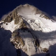
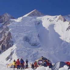
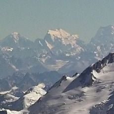
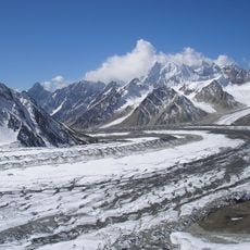
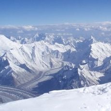
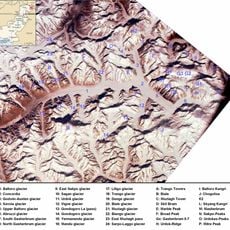
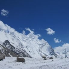
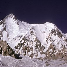
Teram Kangri is a mountain summit with three distinct peaks along a ridge within the Siachen Muztagh section of the Karakoram range, with its highest point reaching about 7,462 meters. Multiple glaciers surround and shape this mountain formation throughout the year.
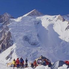
The first successful climb occurred in 1975 when a Japanese expedition led by H. Katayama reached the highest peak via the southwest ridge. This marked a turning point in mountaineering exploration in this remote Karakoram region.
The name comes from old tales mentioning a settlement near the Teram Shehr glacier, linking local stories to geographic features. Visitors today can still find these connections reflected in how local guides refer to the glaciers and passes in the area.
Reaching the mountain requires traveling approximately 194 kilometers from the starting point, with mountaineers crossing multiple glaciers and managing extreme weather conditions. Those attempting this summit should prepare for challenging terrain and rapidly changing conditions.
The mountain sits at the boundary of three different territorial zones, with its northeast face under Chinese administration while the southwest section lies under Indian control. This position makes it a geographically and politically complex destination for climbers.
The community of curious travelers
AroundUs brings together thousands of curated places, local tips, and hidden gems, enriched daily by 60,000 contributors worldwide.