Log in to your account

AroundUs is a community-driven map of interesting places, built by curious explorers like you. It grows with every review, story, and photo you share.
Connect to save your favorite spots, contribute locations, and create personalized routes.
Continue with Google
Continue with Apple
Continue with X
Continue with Facebook
Continue with email
By continuing, you accept our Terms and Conditions and our Privacy Policy
Create an account

West Garo Hills district

Add to collection
Map
Suggest a change
Share

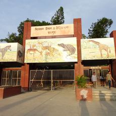
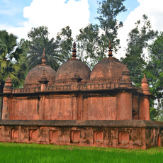
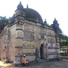
West Garo Hills district, Administrative district in Garo Hills, Meghalaya, India.

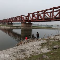
West Garo Hills is an administrative district in Meghalaya covering about 3,600 square kilometers with several mountain ranges crossing through it. The region is organized into 4 subdivisions and 8 administrative blocks spread across numerous villages.

The area was originally part of a single Garo Hills district before being split into West and East Garo Hills in 1976. This separation created two separate administrative regions with their own governance structures.

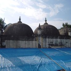
The Garo people form the main community here and follow matrilineal customs where women hold central roles in family and inheritance matters. Other groups like Hajongs, Rabhas, and Koches also live in the region, shaping its social and cultural character.

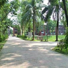
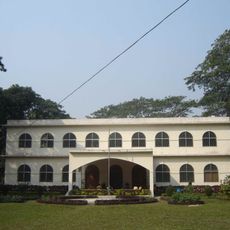
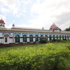
The area is hilly and mountainous, so visitors should prepare for challenging terrain and changeable weather conditions. Basic facilities like hospitals and schools are available in larger settlements, though they may be limited in remote villages.

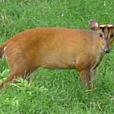
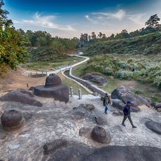
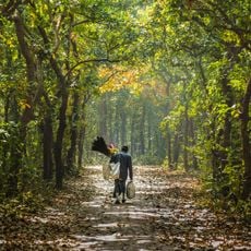
Nokrek Peak is the highest point in the region and offers distinctive views of the surrounding landscape. Fewer visitors trek here compared to other hill stations, making it a quieter place to explore the local mountains and forests.

Location: Meghalaya

Inception: October 22, 1976

Capital city: Tura

Shares border with: Dhubri district, South West Garo Hills district, North Garo Hills district, East Garo Hills district, South Garo Hills district

Website: http://westgarohills.gov.in

GPS coordinates: 25.51670,90.21670

Latest update: December 8, 2025 13:42

Photos
Reviews

Visited this place? Tap the stars to rate it and share your experience / photos with the community! Try now! You can cancel it anytime.

« West Garo Hills district - Administrative district in Garo Hills, Meghalaya, India » is provided by Around Us (aroundus.com). Images and texts are derived from Wikimedia project under a Creative Commons license. You are allowed to copy, distribute, and modify copies of this page, under the conditions set by the license, as long as this note is clearly visible.

Discover hidden gems everywhere you go!

From secret cafés to breathtaking viewpoints, skip the crowded tourist spots and find places that match your style. Our app makes it easy with voice search, smart filtering, route optimization, and insider tips from travelers worldwide. Download now for the complete mobile experience.

Around Us App Screenshot

A unique approach to discovering new places

Le Figaro

All the places worth exploring

France Info

A tailor-made excursion in just a few clicks

20 Minutes