Mandya district

Log in to your account

AroundUs is a community-driven map of interesting places, built by curious explorers like you. It grows with every review, story, and photo you share.
Connect to save your favorite spots, contribute locations, and create personalized routes.
Continue with Google
Continue with Apple
Continue with X
Continue with Facebook
Continue with email
By continuing, you accept our Terms and Conditions and our Privacy Policy
Create an account
Add to collection
Map
Suggest a change
Share

Mandya district, Administrative district in Mysuru division, India

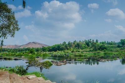
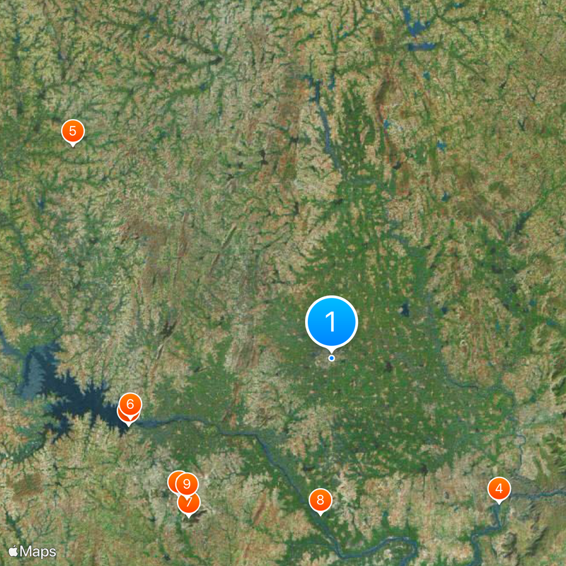
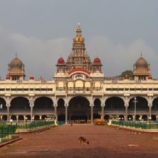
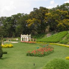
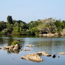
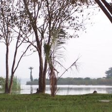
Mandya is an administrative district in southern Karnataka that stretches between the Kaveri River and several of its tributaries across a landmass of around 5,000 square kilometers. The region is defined by river systems that flow through it, creating a productive agricultural zone with varied terrain.

The district was carved out as its own administrative division from the larger Mysore district in 1939, then went through changes following India's reorganization of states in the 1950s. These administrative shifts established the boundaries and structure that remain today.

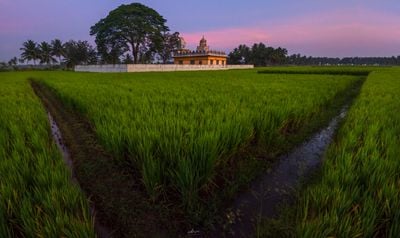
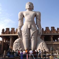
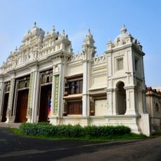
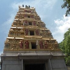
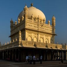
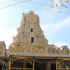
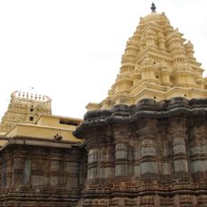
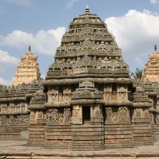
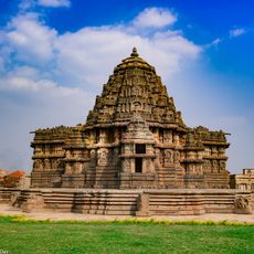
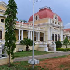
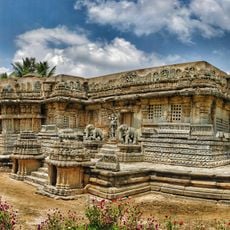
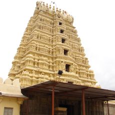
Hindu temples dot the landscape and form centers where local people gather for celebrations and daily worship. Agricultural practices passed down through generations remain deeply woven into how families live and mark their seasons.

The district is well connected by three national highways that link its main population centers and towns. Multiple administrative zones allow visitors to explore different parts of the region with ease.

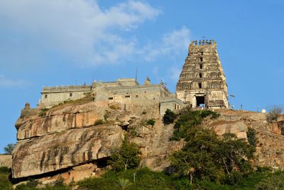
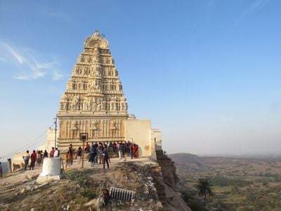
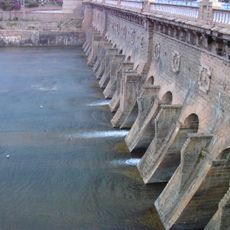
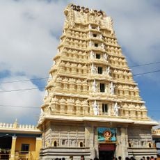
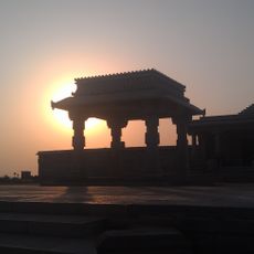
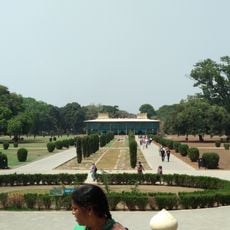
The region is home to the Yoga Narasimha Temple in Melukote, a site that draws pilgrims and travelers, as well as the Shivanasamudra Falls tucked within the river landscape. These two locations show how the district blends religious meaning with natural features.

Location: Mysuru division

Inception: July 1, 1939

Capital city: Mandya

Shares border with: Hassan district, Mysuru district, Chamarajanagar district, Ramanagara district

Website: http://mandya.nic.in

GPS coordinates: 12.52000,76.90000

Latest update: December 14, 2025 21:14

Photos
Reviews

Visited this place? Tap the stars to rate it and share your experience / photos with the community! Try now! You can cancel it anytime.

« Mandya district - Administrative district in Mysuru division, India » is provided by Around Us (aroundus.com). Images and texts are derived from Wikimedia project under a Creative Commons license. You are allowed to copy, distribute, and modify copies of this page, under the conditions set by the license, as long as this note is clearly visible.

Discover hidden gems everywhere you go!

From secret cafés to breathtaking viewpoints, skip the crowded tourist spots and find places that match your style. Our app makes it easy with voice search, smart filtering, route optimization, and insider tips from travelers worldwide. Download now for the complete mobile experience.

Around Us App Screenshot

A unique approach to discovering new places

Le Figaro

All the places worth exploring

France Info

A tailor-made excursion in just a few clicks

20 Minutes