Extreme points of India, Geographic locations across India.
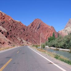
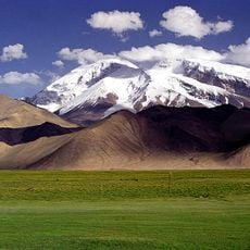
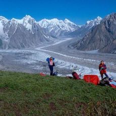
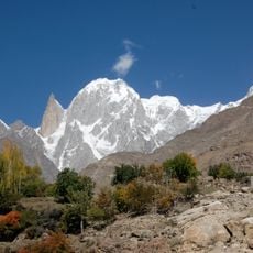
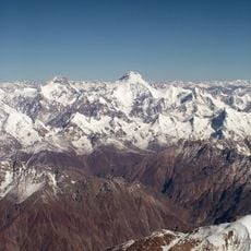
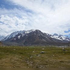
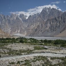
The extreme points of India mark the geographic boundaries of the country, extending across thousands of kilometers from its northern highlands to southern coasts. These locations span diverse landscapes including mountains, plateaus, plains, and coastal areas that define the nation's territorial reach.
India's extreme points were documented through surveying expeditions in the early 20th century that established the nation's precise geographic boundaries. These locations gained significance as markers of territorial extent following India's independence and modern nation-building efforts.
The southernmost tip at Kanyakumari holds religious importance as the meeting point of three oceans and features the Vivekananda Rock Memorial.
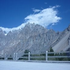
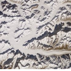
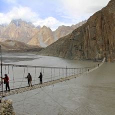
Northern extreme points are located in difficult-to-reach Himalayan regions and often require permits or special arrangements to visit. Southern locations like Kanyakumari are more accessible to tourists, though visiting remote eastern or western points may involve challenges related to terrain and accessibility.
Kuttanad in Kerala sits about 2 meters below sea level, making it one of the few places on earth where farms operate below the water table. This unusual feature showcases human adaptation to extreme natural conditions and challenges conventional understanding of settlement patterns.
The community of curious travelers
AroundUs brings together thousands of curated places, local tips, and hidden gems, enriched daily by 60,000 contributors worldwide.