Enable Location

We need your location to show you interesting places around you

Discover nearby places

Find interesting locations and hidden gems around you

Precise directions

Get accurate directions and distances to places

Your location is never shared with other users. It's only used when you tap the location button.

Log in to your account

Start exploring — it's free

Trusted by 62,968 travelers worldwide

Continue with Google
Continue with Apple
or

We will send you a code to connect

By continuing, you accept our Terms and Conditions and our Privacy Policy

Check your inbox

We've sent a pincode in your inbox. Please enter the code below.

Surma-Meghna River System
Discussion Reviews Photo
15k Popularity

Surma-Meghna River System, Drainage system in Northeast India and Bangladesh.

The Surma-Meghna system flows roughly 950 kilometers from the Manipur Hills through a wide delta region into Bangladesh, creating multiple branching channels and tributaries. As it nears the Bay of Bengal, the waterway spreads into increasingly broad passages that shape the entire landscape.

The system originated from ancient tectonic movements that created the Sylhet Depression, fundamentally shaping how water drains across the entire northeastern region. These geological processes established the framework for the current river network.

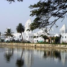
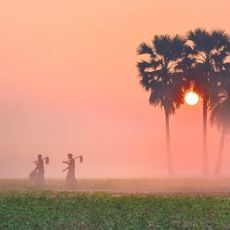
Local communities depend on traditional fishing methods and water transport that have shaped their way of life for centuries. These practices remain central to how people move, work, and live alongside the waterways today.

Visit during dry seasons when water levels are more stable and easier to navigate. The monsoon months bring heavy rainfall and flooding, making travel and exploration more difficult in the region.

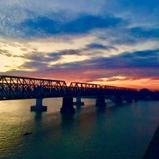
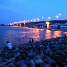
At Bhairab Bazar, the system transforms into the Lower Meghna and spreads into increasingly wide channels as it approaches the Bay of Bengal. This funnel-like expansion creates one of the region's largest delta formations.

The community of curious travelers

AroundUs brings together thousands of curated places, local tips, and hidden gems, enriched daily by 60,000 contributors worldwide.

Start exploring
GPS coordinates
24.44140,91.07310
Latest update
December 7, 2025 19:32
Reviews
Share your experience

No review yet

Discussions
Start a discussion...

No discussion yet

« Surma-Meghna River System - Drainage system in Northeast India and Bangladesh » is provided by Around Us (aroundus.com). Images and texts are derived from Wikimedia project under a Creative Commons license. You are allowed to copy, distribute, and modify copies of this page, under the conditions set by the license, as long as this note is clearly visible.

Discover hidden gems everywhere you go!

From secret cafés to breathtaking viewpoints, skip the crowded tourist spots and find places that match your style. Our app makes it easy with voice search, smart filtering, route optimization, and insider tips from travelers worldwide. Download now for the complete mobile experience.

Around Us App Screenshot

A unique approach to discovering new places

Le Figaro

All the places worth exploring

France Info

A tailor-made excursion in just a few clicks

20 Minutes

Around Us
Travel Guide & Maps
Download

Send to your phone

QR Code
1

Open the camera app on your mobile.

2

Point at the QR code with your camera. A notification will appear.

3

Tap the notification to open the link.