Bonacaud, Base station in Thiruvananthapuram district, India
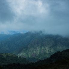
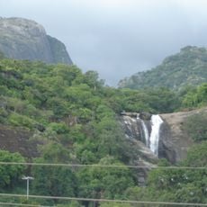
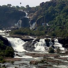
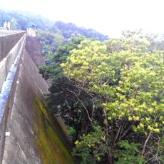
Bonacaud is a settlement at the foot of the Agasthya hills in an area with tea estates, dense forests, waterfalls, and diverse plant species. The landscape combines cultivated plantation grounds with patches of wild forest covering the surrounding terrain.
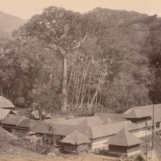
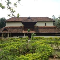
The British established a tea estate in 1850 near the Sooryakanthi river, but later moved it because the location received insufficient sunlight affecting workers' health and productivity. This relocation led to the formation of the settlement in its current location.
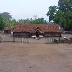
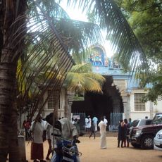
Workers from southern Tamil Nadu settled in this area and their descendants still live here, maintaining their distinct community with its own traditions and way of life. You can observe how this community organizes itself socially and preserves its cultural identity through daily practices.
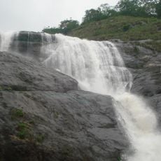
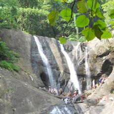
To reach Bona Falls, expect a trek of about two kilometers through forest paths with vehicles parking at a designated spot beforehand. Good footwear and weather-appropriate clothing are essential, especially during the rainy season when paths become slippery.
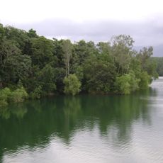
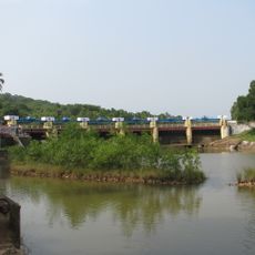
The region is crossed by three rivers - Karamana, Vaazhapindhiyaar, and Attayar - that trekkers must cross to reach the Athirumala forest shelter. These river crossings form a memorable part of the journey through the landscape.
The community of curious travelers
AroundUs brings together thousands of curated places, local tips, and hidden gems, enriched daily by 60,000 contributors worldwide.