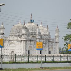
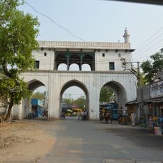
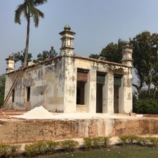
Nabagram community development block, Administrative region in West Bengal, India.
Nabagram is an administrative block in Murshidabad district containing hundreds of villages spread across a wide rural landscape. The region includes numerous settlements, each with its own village councils and local governance structures typical of rural development blocks.
The region was established as an administrative block during the colonial period and maintained this organizational structure after independence. The population has grown significantly over recent decades, reflecting increasing settlement and local economic development.
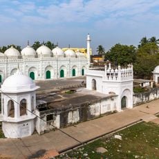
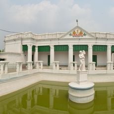
You will notice a mix of religious communities living together throughout the villages, with their different festivals and celebrations marking the calendar year. Bengali language fills the streets, markets, and daily conversations across all settlements.
The villages are connected by local roads that vary in condition depending on the season and recent weather. Planning a visit requires some flexibility since facilities and accessibility differ between settlements across the block.
Silk production is a significant economic activity here, with mulberry groves and traditional weaving workshops visible throughout the region. You can witness how local artisans continue these time-honored techniques in their daily work.
The community of curious travelers
AroundUs brings together thousands of curated places, local tips, and hidden gems, enriched daily by 60,000 contributors worldwide.