Enable Location

We need your location to show you interesting places around you

Discover nearby places

Find interesting locations and hidden gems around you

Precise directions

Get accurate directions and distances to places

Your location is never shared with other users. It's only used when you tap the location button.

Repalle mandal

Log in to your account

Start exploring — it's free

Trusted by 63,091 travelers worldwide

Continue with Google
Continue with Apple
or

We will send you a code to connect

By continuing, you accept our Terms and Conditions and our Privacy Policy

Check your inbox

We've sent a pincode in your inbox. Please enter the code below.

Repalle mandal
Discussion Reviews 1 Photos
3.8k Popularity

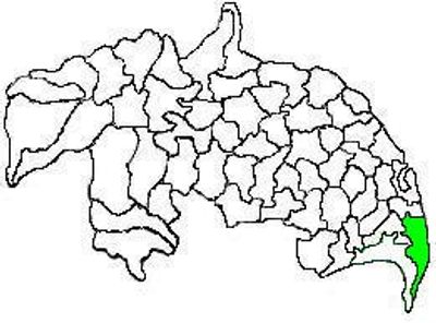
Repalle mandal, Administrative division in Bapatla District, India

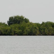
Repalle mandal is an administrative division in Bapatla district that stretches across agricultural land and riverside areas along the Krishna River. The region contains multiple villages and a central town where government offices and local commerce are concentrated.

This administrative unit was established in 1909 when it separated from Tenali mandal and became its own administrative entity. Subsequent boundary changes in later decades shaped the area into its current form.

The region maintains a population of 111,989 residents distributed between urban and rural areas, with a notably high female-to-male ratio of 1056 to 1000.

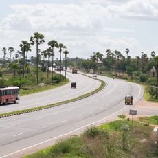
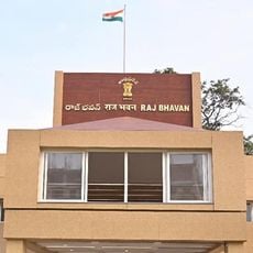
The local administration operates from the central town where offices and basic services are accessible. Visitors should note that the area is primarily agricultural and local transportation options may be limited.

The mandal recorded a literacy rate of 72.99%, with distinct variations between male and female education levels in both urban and rural settlements.

The community of curious travelers

AroundUs brings together thousands of curated places, local tips, and hidden gems, enriched daily by 60,000 contributors worldwide.

Start exploring
Location
Capital city
Repalle
Elevation above the sea
6 m
Shares border with
Nagaram
GPS coordinates
16.01720,80.82940
Latest update
December 11, 2025 18:08
Reviews
Share your experience

No review yet

Discussions
Start a discussion...

No discussion yet

« Repalle mandal - Administrative division in Bapatla District, India » is provided by Around Us (aroundus.com). Images and texts are derived from Wikimedia project under a Creative Commons license. You are allowed to copy, distribute, and modify copies of this page, under the conditions set by the license, as long as this note is clearly visible.

Discover hidden gems everywhere you go!

From secret cafés to breathtaking viewpoints, skip the crowded tourist spots and find places that match your style. Our app makes it easy with voice search, smart filtering, route optimization, and insider tips from travelers worldwide. Download now for the complete mobile experience.

Around Us App Screenshot

A unique approach to discovering new places

Le Figaro

All the places worth exploring

France Info

A tailor-made excursion in just a few clicks

20 Minutes

Around Us
Travel Guide & Maps
Download

Send to your phone

QR Code
1

Open the camera app on your mobile.

2

Point at the QR code with your camera. A notification will appear.

3

Tap the notification to open the link.