Enable Location

We need your location to show you interesting places around you

Discover nearby places

Find interesting locations and hidden gems around you

Precise directions

Get accurate directions and distances to places

Your location is never shared with other users. It's only used when you tap the location button.

Log in to your account

Start exploring — it's free

Trusted by 63,091 travelers worldwide

Continue with Google
Continue with Apple
or

We will send you a code to connect

By continuing, you accept our Terms and Conditions and our Privacy Policy

Check your inbox

We've sent a pincode in your inbox. Please enter the code below.

Salur mandal
Discussion Reviews Photo
2.8k Popularity

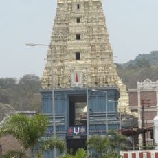
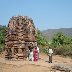
Salur mandal, Administrative subdivision in Parvathipuram Manyam district, India.

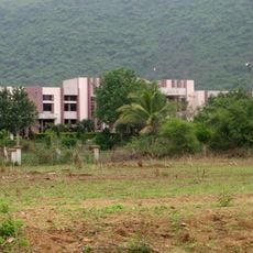
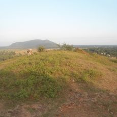
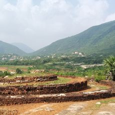
Salur mandal is an administrative division in Parvathipuram Manyam district spanning roughly 485 square kilometers across Andhra Pradesh. This area contains one urban center and numerous rural villages with diverse settlement patterns and land use.

This mandal was historically part of Visakhapatnam district before undergoing several administrative transfers. It became part of Parvathipuram Manyam district in 2022 following its creation, after previously shifting between Srikakulam and Vizianagaram districts.

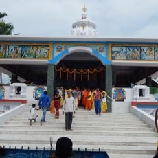
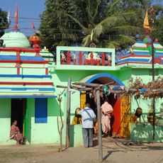
Telugu is spoken by residents throughout the region, and you will notice how villages maintain their own local governance structures. Traditional customs shape daily life in the smaller settlements, where community decisions are made through established village councils.

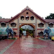
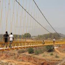
The region is readily accessible with a mix of urban and rural infrastructure spread across both the town and villages. Getting around requires different approaches in rural areas compared to the urban center, so plan your route based on where you intend to go.

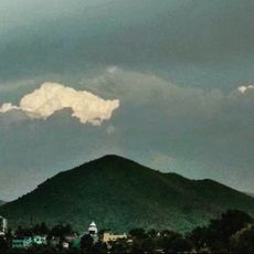
The mandal sits directly on the border with Odisha state to the north, making it a natural meeting point between two regions. This frontier location has shaped the character of the area and its connections across state lines.

The community of curious travelers

AroundUs brings together thousands of curated places, local tips, and hidden gems, enriched daily by 60,000 contributors worldwide.

Start exploring
Capital city
Saluru
GPS coordinates
18.51800,83.20800
Latest update
December 12, 2025 14:25
Reviews
Share your experience

No review yet

Discussions
Start a discussion...

No discussion yet

« Salur mandal - Administrative subdivision in Parvathipuram Manyam district, India » is provided by Around Us (aroundus.com). Images and texts are derived from Wikimedia project under a Creative Commons license. You are allowed to copy, distribute, and modify copies of this page, under the conditions set by the license, as long as this note is clearly visible.

Discover hidden gems everywhere you go!

From secret cafés to breathtaking viewpoints, skip the crowded tourist spots and find places that match your style. Our app makes it easy with voice search, smart filtering, route optimization, and insider tips from travelers worldwide. Download now for the complete mobile experience.

Around Us App Screenshot

A unique approach to discovering new places

Le Figaro

All the places worth exploring

France Info

A tailor-made excursion in just a few clicks

20 Minutes

Around Us
Travel Guide & Maps
Download

Send to your phone

QR Code
1

Open the camera app on your mobile.

2

Point at the QR code with your camera. A notification will appear.

3

Tap the notification to open the link.