
Somvarpet Taluk, taluk in Kodagu district, Karnataka
Location: Kodagu district
Elevation above the sea: 609 m
GPS coordinates: 12.55700,75.85100
Latest update: May 19, 2025 19:05
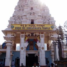
Kukke Subramanya Temple
28.6 km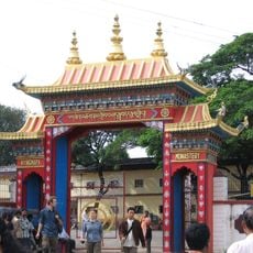
Namdroling Monastery
18.9 km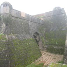
Manjarabad Fort
40.7 km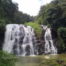
Abbey Falls
18.3 km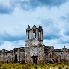
Shettihalli Rosary Church
39.3 km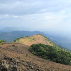
Vaithalmala
55 km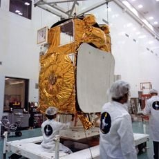
Master Control Facility
63.3 km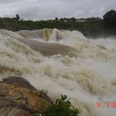
Chunchanakatte Falls
48.1 km
Dubare
21.8 km
Tadiandamol
46.1 km
Raja's Seat
20.2 km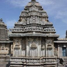
Lakshmi Devi Temple
62.2 km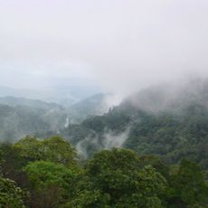
Brahmagiri Wildlife Sanctuary
43.5 km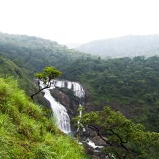
Mallalli Falls
5.2 km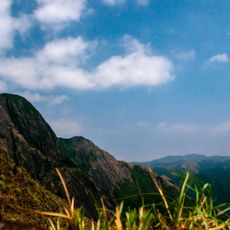
Pushpagiri Wildlife Sanctuary
20.2 km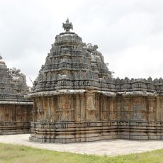
Nageshvara-Chennakeshava Temple complex, Mosale
49.7 km
Nalknad Palace
38.5 km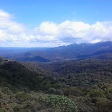
Talakaveri Wildlife Sanctuary
47 km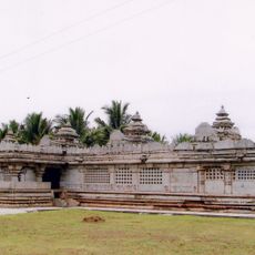
Panchalingeshwara temple, Govindanahalli
63.5 km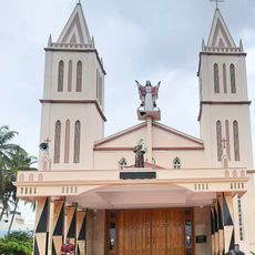
St. Anthony's Basilica, Dornahalli
64.1 km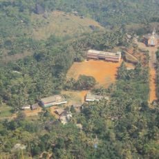
Payyavoor Grama Panchayat
63 km
Bisle Reserve Forest
27.1 km
Honnamana Kere
7.8 km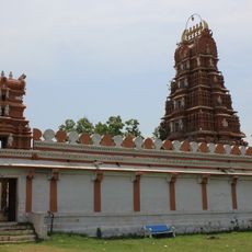
Arakeshwara Temple, Haleyedatore
59.6 km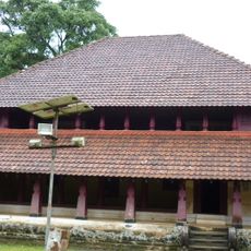
Ainmanes
38.5 km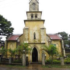
St. Mark's Church, Mercara
19.5 km
Delampady Grama Panchayat
62.6 km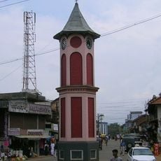
Virajpet Clock Tower
40.4 kmReviews
Visited this place? Tap the stars to rate it and share your experience / photos with the community! Try now! You can cancel it anytime.
Discover hidden gems everywhere you go!
From secret cafés to breathtaking viewpoints, skip the crowded tourist spots and find places that match your style. Our app makes it easy with voice search, smart filtering, route optimization, and insider tips from travelers worldwide. Download now for the complete mobile experience.

A unique approach to discovering new places❞
— Le Figaro
All the places worth exploring❞
— France Info
A tailor-made excursion in just a few clicks❞
— 20 Minutes