
Lohsar, village in Maharashtra
Location: Ahilyanagar district
GPS coordinates: 19.18389,74.96556
Latest update: March 25, 2025 03:00

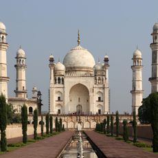
Bibi Ka Maqbara
88.1 km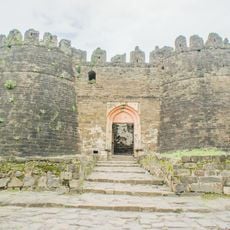
Daulatabad Fort
88.7 km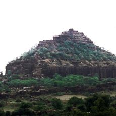
Daulatabad
88.4 km
Ahmednagar Fort
24.3 km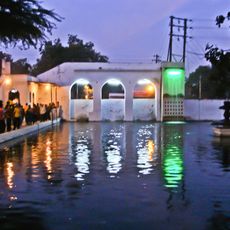
Panchakki
86.7 km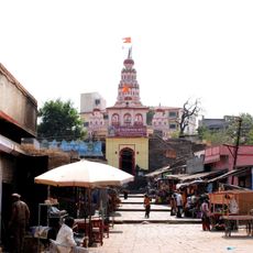
Siddhivinayak Temple, Siddhatek
86.1 km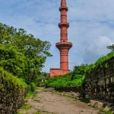
Chand Minar
88.7 km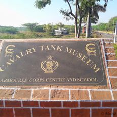
Cavalry Tank Museum
25.9 km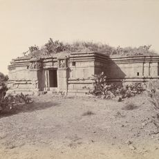
Bahadur Fort
80.1 km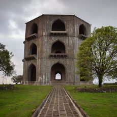
Tomb of Salabat Khan II
16.6 km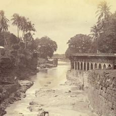
Neher water system
86.7 km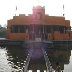
Kankaleshwar Temple
87.2 km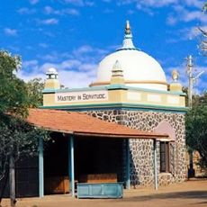
Samadhi of Meher Baba
31.4 km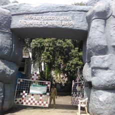
Siddharth Garden and Zoo
85.6 km
Neighborhoods of Aurangabad
87.2 km
Jnaneshwar Udyan
55.2 km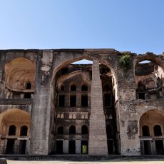
Farah Bagh
25.9 km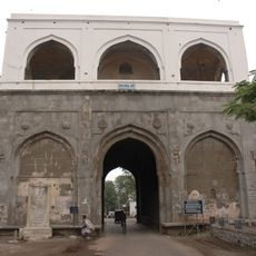
Bhadkal Gate
86.9 km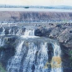
Mandohol Dam
69.2 km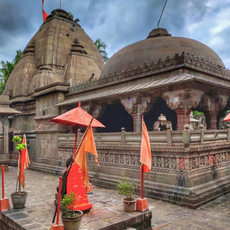
Siddheshwar temple, Toka
49.1 km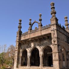
Damri Masjid
23.3 km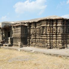
Baleshwar Temple
80.1 km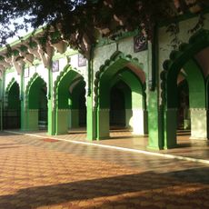
Bara Imam Kotla
25.3 km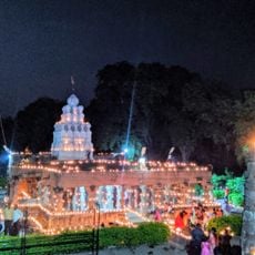
Temple of Malikarjuna
42 km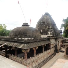
Temple of Siddheshwar Mahadev
49.1 km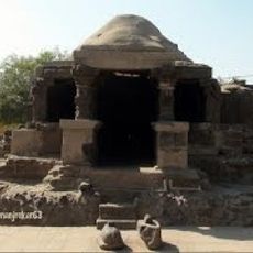
Jain Temple
41.8 km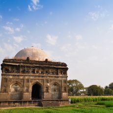
Tomb of Nizam Ahmedshah
26.6 km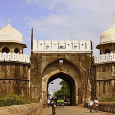
Makai Gate
87.3 kmReviews
Visited this place? Tap the stars to rate it and share your experience / photos with the community! Try now! You can cancel it anytime.
Discover hidden gems everywhere you go!
From secret cafés to breathtaking viewpoints, skip the crowded tourist spots and find places that match your style. Our app makes it easy with voice search, smart filtering, route optimization, and insider tips from travelers worldwide. Download now for the complete mobile experience.

A unique approach to discovering new places❞
— Le Figaro
All the places worth exploring❞
— France Info
A tailor-made excursion in just a few clicks❞
— 20 Minutes