Ahilyanagar district, Administrative district in Maharashtra, India
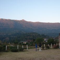
Ahilyanagar is an administrative district in the Pune division of western Maharashtra, extending over seventeen thousand square kilometers and linking hilly western areas with flat eastern plains. The district divides into fourteen talukas that together cover more than fifteen hundred villages and several larger towns.
British authorities established the district in 1818 after taking over the territory from the Maratha Empire. The name was later changed to honor Ahilyabai Holkar, an 18th-century Maratha ruler.
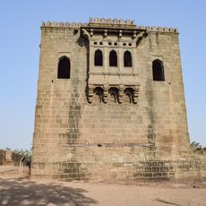
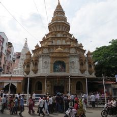
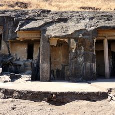
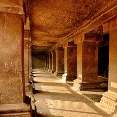
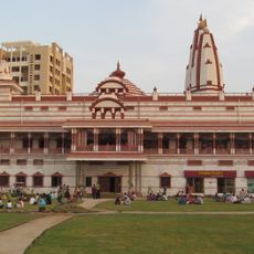
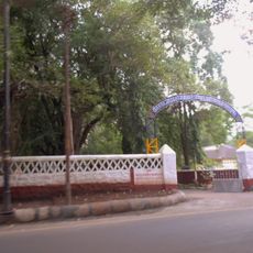
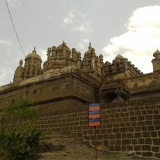
The district contains multiple religious centers, including temples at Shirdi and Mehrabad, where thousands of devotees practice traditional Maharashtrian customs.
Larger towns in the district are reachable by road and rail, with western hill areas requiring longer travel times than eastern lowland zones. Bank branches and medical facilities appear in most taluka centers, while rural villages often rely on nearby towns.
In 1950, the first cooperative sugar factory in India opened at Pravaranagar, later serving as a model for similar enterprises in other regions. This factory marked the beginning of modern sugar production under farmer control in Maharashtra.
The community of curious travelers
AroundUs brings together thousands of curated places, local tips, and hidden gems, enriched daily by 60,000 contributors worldwide.