Attappadi Taluk, Mountain station and protected area in Palakkad district, India
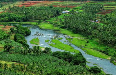
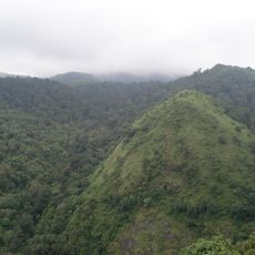
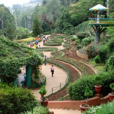
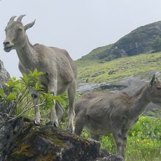
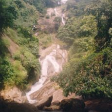
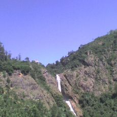
Attappadi Taluk is an administrative region in the Western Ghats featuring mountains, forests, and two rivers spread across approximately 735 square kilometers. The terrain is hilly and forested, with Agali serving as the headquarters and connected to major cities via state highways.
The region formed part of the Valluvanad Swaroopam kingdom during medieval times before falling under Mysore Kingdom control in the late 1700s. This shift in power shaped the area's political development for centuries to come.
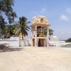
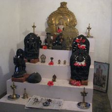
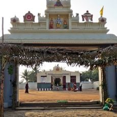
The Irula, Muduga, and Kurumba communities have called this region home for generations and their daily practices shape local life. Visitors can observe traditional celebrations at the Malleswaram temple, where these groups gather for important ceremonies.
Access is best from Agali, which serves as the administrative center and is well connected to larger cities via state highways. Visitors should expect hilly terrain and be mindful of local road conditions, especially during monsoon season.
The Geological Survey of India discovered substantial gold deposits within the rocks, particularly in the Kottathara and Puttumala areas. These mineral resources remain largely untapped, making them a fascinating geological feature of the landscape.
The community of curious travelers
AroundUs brings together thousands of curated places, local tips, and hidden gems, enriched daily by 60,000 contributors worldwide.