Enable Location

We need your location to show you interesting places around you

Discover nearby places

Find interesting locations and hidden gems around you

Precise directions

Get accurate directions and distances to places

Your location is never shared with other users. It's only used when you tap the location button.

Palakkad district

Log in to your account

Start exploring — it's free

Trusted by 61,828 travelers worldwide

Continue with Google
Continue with Apple
or

We will send you a code to connect

By continuing, you accept our Terms and Conditions and our Privacy Policy

Check your inbox

We've sent a pincode in your inbox. Please enter the code below.

Palakkad district

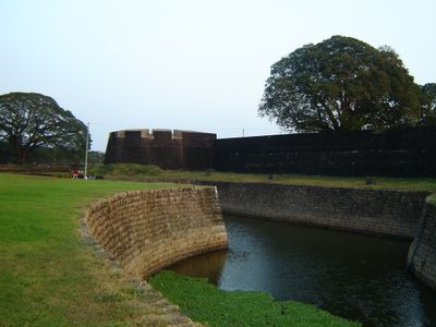
Palakkad district, Administrative district in Kerala, India

Description

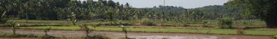
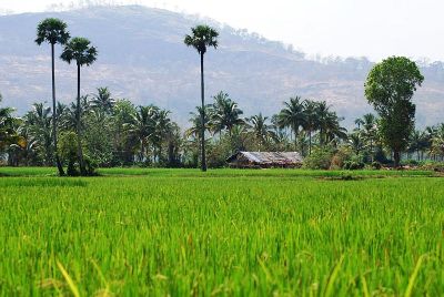
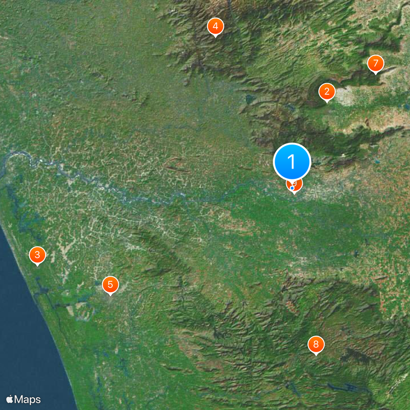
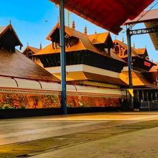
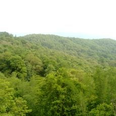
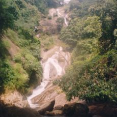
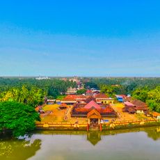
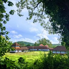
Palakkad district is an administrative division in Kerala, India, stretching across mountain foothills, valleys, and agricultural plains that connect Kerala's humid coastal areas with the drier landscapes of Tamil Nadu. The territory includes dense forest zones along the Western Ghats and wide expanses of rice paddies and plantations in the lower elevations, where several rivers flow through the land.

History

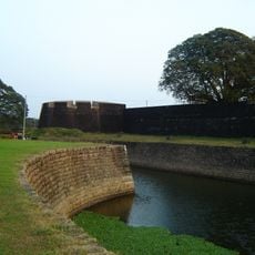
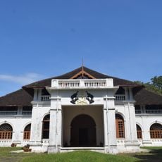
The area belonged to the Kingdom of Mysore until 1792, when it came under British control and became part of the larger Malabar District. After Indian independence, it was established as a separate district within the newly formed state of Kerala in 1957.

Culture

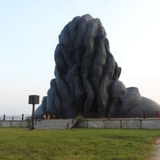
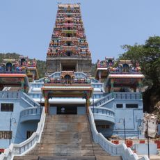
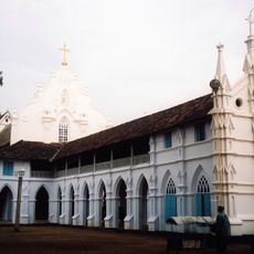
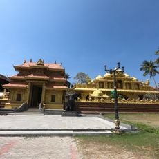
The name derives from the Malayalam words for old fort, and the area remains a meeting point where Kerala's western culture blends with Tamil influences from the east. Visitors notice this mix in the local dialect, food habits, and the way people celebrate harvest seasons with traditions that bridge both regions.

Practical

Most visitors reach the region through the town of Palakkad, which connects by train and road to both Kerala and Tamil Nadu. The area is best explored with local buses or hired vehicles, as many sites lie scattered across rural areas.

Did you know?

The natural gap in the mountains allows drier winds from Tamil Nadu to blow into Kerala, making the local climate less humid than other parts of the state. This opening has served as a trade route for centuries and still shapes the movement of people and goods between both regions today.

Location
Inception
1957
Capital city
Palakkad
Shares border with
Coimbatore district, Thrissur district, Malappuram district, Nilgiris district
GPS coordinates
10.77500,76.65100
Latest update
December 13, 2025 16:28

AroundUs brings together thousands of curated places, local tips, and hidden gems, enriched daily by 60,000 contributors worldwide. Discover all places nearby (Kerala).

« Palakkad district - Administrative district in Kerala, India » is provided by Around Us (aroundus.com). Images and texts are derived from Wikimedia project under a Creative Commons license. You are allowed to copy, distribute, and modify copies of this page, under the conditions set by the license, as long as this note is clearly visible.

Discover hidden gems everywhere you go!

From secret cafés to breathtaking viewpoints, skip the crowded tourist spots and find places that match your style. Our app makes it easy with voice search, smart filtering, route optimization, and insider tips from travelers worldwide. Download now for the complete mobile experience.

Around Us App Screenshot

A unique approach to discovering new places

Le Figaro

All the places worth exploring

France Info

A tailor-made excursion in just a few clicks

20 Minutes

Around Us
Travel Guide & Maps
Download

Send to your phone

QR Code
1

Open the camera app on your mobile.

2

Point at the QR code with your camera. A notification will appear.

3

Tap the notification to open the link.