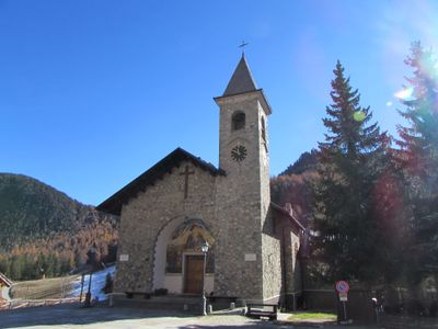
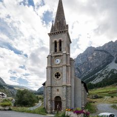
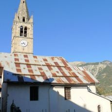
Claviere, Italian comune
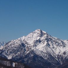
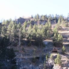
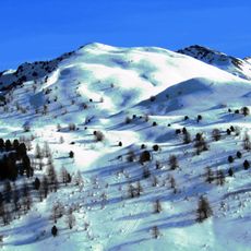
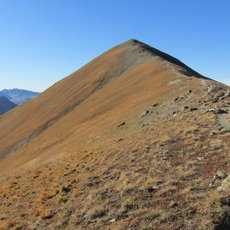
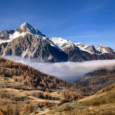
Claviere is a small commune in the Alps, in the Metropolitan City of Turin, sitting right on the border between Italy and France. The village stands high in the mountains, surrounded by slopes that are deep under snow in winter and used as walking trails in summer.
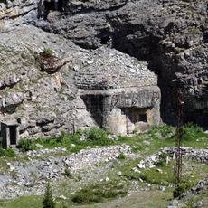
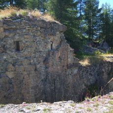
The area has been a crossing point between Italy and France since Roman times, and Julius Caesar is said to have used the mountain pass himself. The Romans built roads through the valley and put up small temples along the route to protect travelers making the crossing.
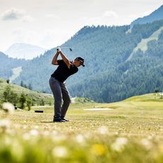
The name Claviere comes from the Latin word for key, referring to its role as a gateway through the mountains between Italy and France. Today visitors use the slopes around the village for skiing in winter and walking in summer.
The village is reached by car over mountain passes, and in winter a vehicle with snow tires or chains is necessary. Hikers and skiers are the most common visitors, so bringing gear suited to the season makes the trip more practical.
In the 19th century the valley was already known for long and reliable snow seasons, making it an early center for skiing well before modern resorts existed. Residents first developed skiing as a practical way to move across the slopes, and this habit slowly grew into the winter sports tradition the area is known for today.
The community of curious travelers
AroundUs brings together thousands of curated places, local tips, and hidden gems, enriched daily by 60,000 contributors worldwide.