Chest opened
+${chestReward.xp} XP
Explorer
NOUVEAU ×${chestReward.collectible.quantity}
tapez pour fermer
Chest locked

Open chests in the app

Around Us is built for your phone — chests unlock when you walk, explore and capture nearby places.

Enable Location

We need your location to show you interesting places around you

Discover nearby places

Find interesting locations and hidden gems around you

Precise directions

Get accurate directions and distances to places

Your location is never shared with other users. It's only used when you tap the location button.

San Saba

Log in to your account

Start exploring — it's free

Trusted by 72,879 travelers worldwide

Continue with Google
Continue with Apple
or

We will send you a code to connect

By continuing, you accept our Terms and Conditions and our Privacy Policy

Check your inbox

We've sent a pincode in your inbox. Please enter the code below.

San Saba
Discussion Reviews 1 Photos
11.9k Popularity

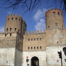
San Saba, Administrative district on Aventine Hill, Rome, Italy

San Saba is a residential district on Aventine Hill in Rome featuring wide, tree-lined streets and semi-detached houses alongside small apartment blocks built in the early 1900s. This design emerged to house middle-class residents in an orderly, accessible layout with public gathering spaces.

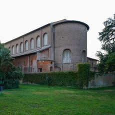
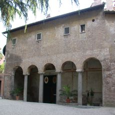
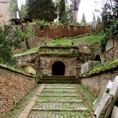
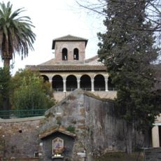
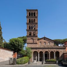
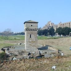
Eastern monks from Palestine established a monastery around 645 AD, bringing their religious practices and diplomatic ties to Constantinople. The site retained its monastic character for centuries before the municipality transformed it into a residential neighborhood in the early 1900s.

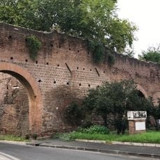
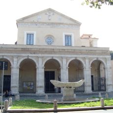
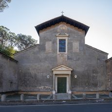
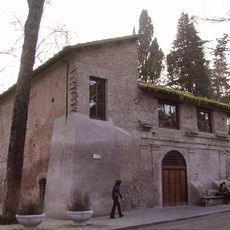
The street names honor renowned architects and artists, while brick buildings echo the history of the ancient monastery walls. This connection to artistic heritage shapes how the neighborhood looks and how people understand its identity.

Piazza Gian Lorenzo Bernini serves as the main community hub with an elementary school, market, theater, park, and recreational facilities for residents and visitors. The wide, flat streets make navigation easy, and these amenities are all within walking distance.

The area remained mostly countryside until 1909, when the municipality started a residential development plan focusing on small-scale housing. This deliberate approach created a human-scale neighborhood rather than imposing large-scale urban blocks.

The community of curious travelers

AroundUs brings together thousands of curated places, local tips, and hidden gems, enriched daily by 60,000 contributors worldwide.

Start exploring
Location
Inception
August 21, 1921
Shares border with
Celio, Ardeatino, Ostiense, Testaccio, Ripa
GPS coordinates
41.87902,12.48629
Latest update
December 7, 2025 20:48
Reviews
Share your experience

No review yet

Discussions
Start a discussion...

No discussion yet

« San Saba - Administrative district on Aventine Hill, Rome, Italy » is provided by Around Us (aroundus.com). Images and texts are derived from Wikimedia project under a Creative Commons license. You are allowed to copy, distribute, and modify copies of this page, under the conditions set by the license, as long as this note is clearly visible.

Discover hidden gems everywhere you go!

From secret cafés to breathtaking viewpoints, skip the crowded tourist spots and find places that match your style. Our app makes it easy with voice search, smart filtering, route optimization, and insider tips from travelers worldwide. Download now for the complete mobile experience.

Around Us App Screenshot

A unique approach to discovering new places

Le Figaro

All the places worth exploring

France Info

A tailor-made excursion in just a few clicks

20 Minutes

Around Us
Travel Guide & Maps
Download

Send to your phone

QR Code
1

Open the camera app on your mobile.

2

Point at the QR code with your camera. A notification will appear.

3

Tap the notification to open the link.