Tanzawa Mountains, Mountain range in Kanagawa and Yamanashi Prefectures, Japan
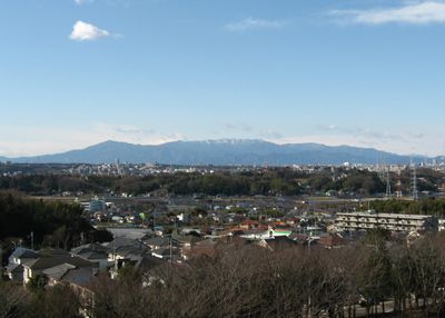
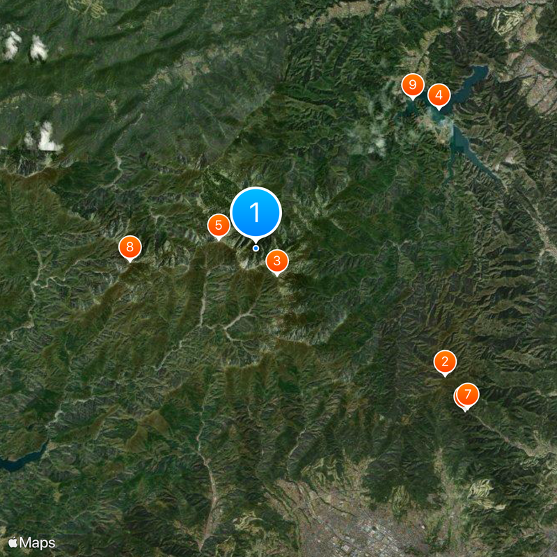
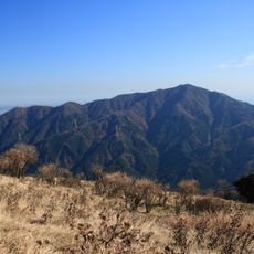
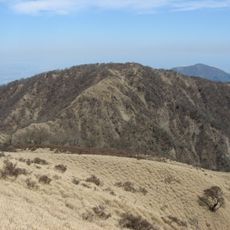
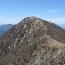
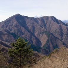
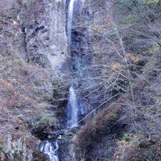
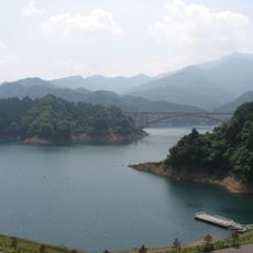
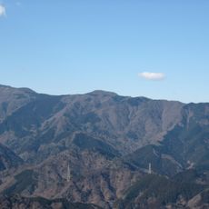
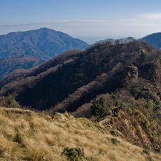
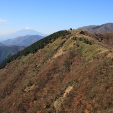
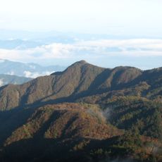
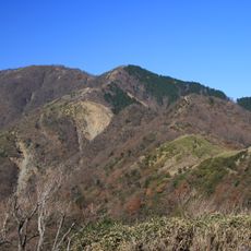
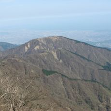
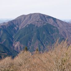
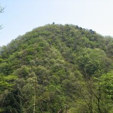
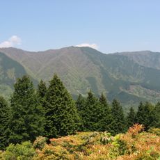
The Tanzawa Mountains form a range spanning roughly 40 kilometers east to west across Kanagawa and Yamanashi Prefectures, with about 92 distinct peaks. Mount Hiru stands as the highest point at around 1,673 meters, and the range features numerous trails, valleys, and streams that shape its terrain.
The mountains formed through ancient submarine volcanic activity that shaped the rock and mineral composition of the range. This geological history created the foundation for the terrain that hikers and spiritual communities use today.
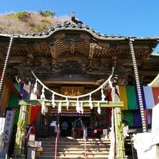
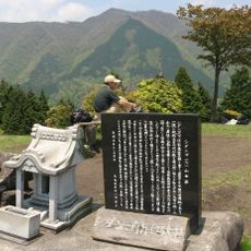
Several temples and shrines dot the mountains, reflecting the Shugendō Buddhist tradition where sacred peaks are central to spiritual practice. Local people and visitors view these high places as centers for both religious devotion and connection to nature.
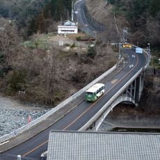
The best season for visiting is spring through autumn, when trails are passable and weather is more predictable. Bring sturdy hiking boots and sufficient water, as the elevation changes and distances between water sources can be considerable.
The peaks here use different naming conventions than most Japanese mountains, incorporating terms like 'maru' and 'tsugi' rather than common endings. This linguistic quirk makes the regional nomenclature stand out and reflects local historical naming practices.
The community of curious travelers
AroundUs brings together thousands of curated places, local tips, and hidden gems, enriched daily by 60,000 contributors worldwide.