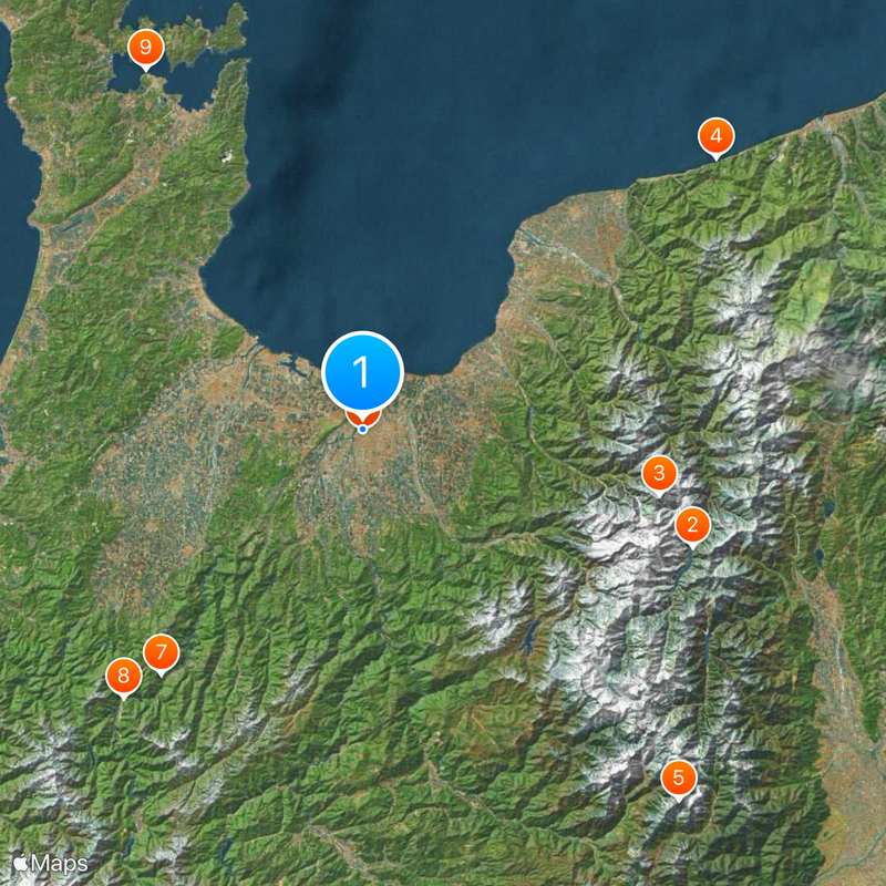
Toyama Prefecture, Administrative division in central Honshu, Japan
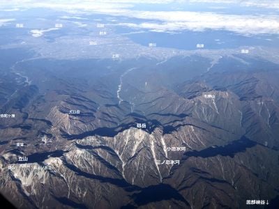
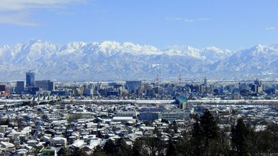
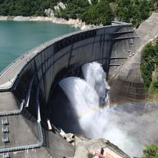
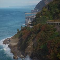
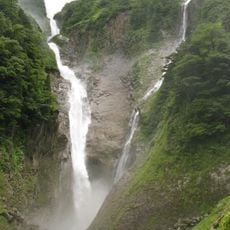
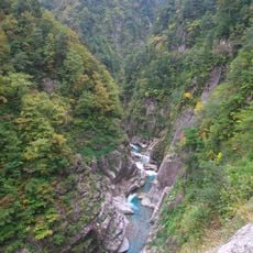
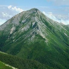
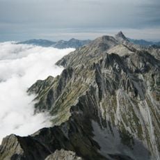
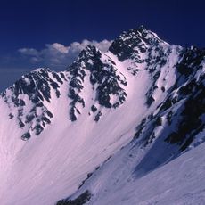
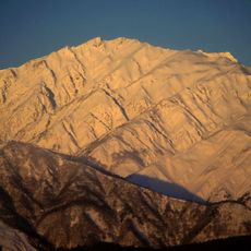
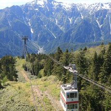
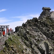
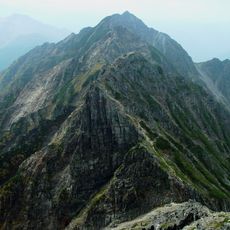
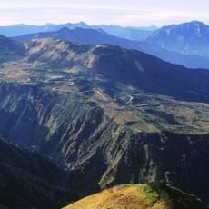
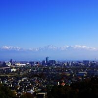
Toyama is an administrative division in central Honshu, situated between the Sea of Japan and the mountains of the interior highlands. The territory stretches from the coastal plain along Toyama Bay to the peaks of the Tateyama range, which form the southern border with the neighboring region.
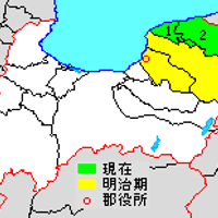
The region was formerly called Etchu and was reorganized in several stages during the late 19th century. The current administrative form came into being in 1881, when the final boundary arrangement was completed.
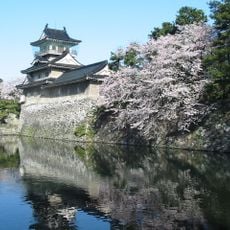
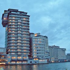
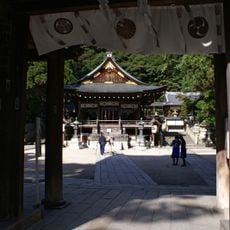
The name comes from the capital city of the same name, which now serves as the economic center of the region. Traditional crafts such as metal casting and copperware making still shape the streetscape of Takaoka, where workshops display their products in small shops.
The Hokuriku Shinkansen connects the capital to Tokyo and other major cities along the west coast. Within the region, local trains and intercity buses make it easier to travel between individual towns and valleys.
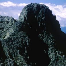
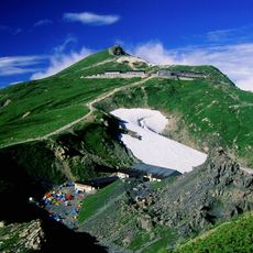
In the southern mountains lie the only known glaciers in East Asia outside Russia, discovered in 2012. Despite their small size, they prove that even in temperate latitudes permanent ice is possible when altitude and snowfall combine.
Location: Japan
Capital city: Toyama
Reference: 160008
Shares border with: Ishikawa Prefecture, Niigata Prefecture, Nagano Prefecture, Gifu Prefecture
Website: https://pref.toyama.jp
GPS coordinates: 36.69531,137.21131
Latest update: December 14, 2025 19:05
Toyama offers visitors a balanced mix of culture, nature, and history. The city houses several notable museum institutions: the Toyama Glass Art Museum displays glassworks from Japan and internationally across six floors, while the Prefectural Museum of Art and Design showcases regional collections...
Kurobe Dam
42.8 km
Mount Tsurugi
37.1 km
Oyashirazu
54.4 km
Gendarme
59.6 km
Toyama Castle
225 m
Gokayama
38.8 km
Minka
44.1 km
Kagaya
51.3 km
Mount Shirouma
49.3 km
Zuiryū-ji
18.5 km
Nanao Castle
40.4 km
Shōmyō Falls
30.9 km
Great Buddha of Takaoka
18.2 km
Kurobe Gorge
42.5 km
Mount Jōnen
61.9 km
Daikiretto
58.1 km
Karasawa Cirque
60 km
Himure Hachimangū
18 km
Amaharashi Coast
22.7 km
Kanden Tunnel
45.3 km
Mount Karamatsu
48.5 km
Takase Dam
49.4 km
Shinhotaka Ropeway
56.6 km
Oyama Shrine
38.8 km
Mount Nishihotaka
59.5 km
Shinminato Bridge
12.4 km
Mt. Yakushi
39 km
Midagahara
32.1 kmVisited this place? Tap the stars to rate it and share your experience / photos with the community! Try now! You can cancel it anytime.
Discover hidden gems everywhere you go!
From secret cafés to breathtaking viewpoints, skip the crowded tourist spots and find places that match your style. Our app makes it easy with voice search, smart filtering, route optimization, and insider tips from travelers worldwide. Download now for the complete mobile experience.
A unique approach to discovering new places❞
— Le Figaro
All the places worth exploring❞
— France Info
A tailor-made excursion in just a few clicks❞
— 20 Minutes