Enable Location

We need your location to show you interesting places around you

Discover nearby places

Find interesting locations and hidden gems around you

Precise directions

Get accurate directions and distances to places

Your location is never shared with other users. It's only used when you tap the location button.

Tanohata

Log in to your account

Start exploring — it's free

Trusted by 64,554 travelers worldwide

Continue with Google
Continue with Apple
or

We will send you a code to connect

By continuing, you accept our Terms and Conditions and our Privacy Policy

Check your inbox

We've sent a pincode in your inbox. Please enter the code below.

Discussion Reviews 1 Photos
15.4k Popularity

Tanohata, village in Shimohei district, Iwate prefecture, Japan

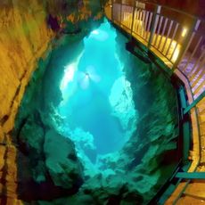
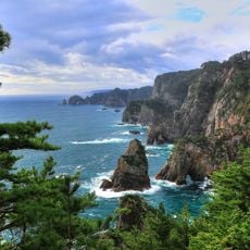
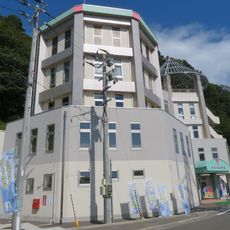
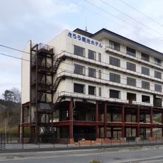
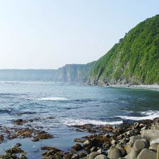
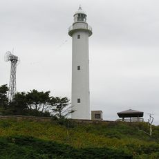
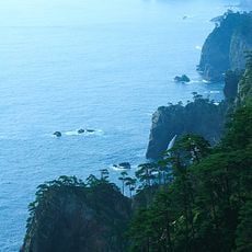
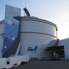
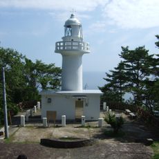
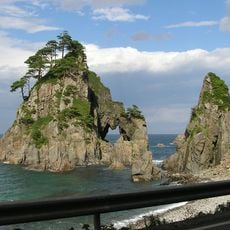
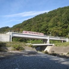
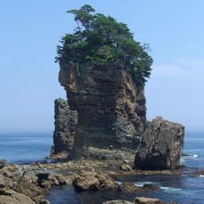
Tanohata is a small village on the Sanriku coast in Iwate Prefecture, situated on rocky cliffs above the Pacific Ocean. It includes two train stations, several viewpoints such as Kitayamasaki Cape and Unosu Cliff, and small harbors where fishing boats depart daily.

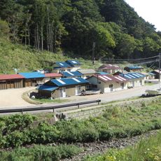
The area was part of Mutsu Province for centuries and governed by local lords during the Edo period, who built small castles and trade routes. A devastating tsunami in 869 demonstrated the sea's power, but the greatest destruction came in 2011 when a strong earthquake triggered waves over 33 feet (10 meters) tall, devastating the village.

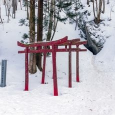
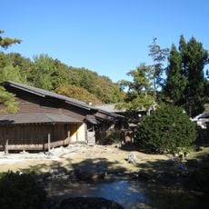
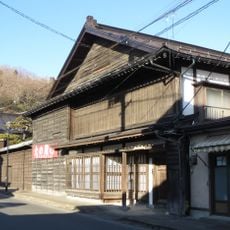
The name reflects the village's position between mountains and sea, rooted in local traditions of farming and fishing. Residents maintain stories about the ocean's power and resilience, passing down knowledge about living in harmony with the coast through everyday practices and community gatherings.

You can reach the village by taking the Sanriku Railway from nearby towns like Miyako or Kuji, or by driving about two hours from Morioka. Local buses connect the train stations with scenic destinations like Kitayamasaki Cape and other viewpoints along the coast.

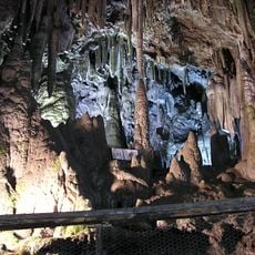
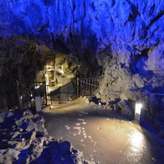
The village is home to bears and eagles that live close to settlements, making the area distinct from typical Japanese towns. Visitors can have authentic experiences such as joining fishermen on boat rides through cliff tunnels or learning craft techniques in local workshops.

The community of curious travelers

AroundUs brings together thousands of curated places, local tips, and hidden gems, enriched daily by 60,000 contributors worldwide.

Start exploring
Inception
April 1, 1889
Shares border with
Iwaizumi, Fudai
GPS coordinates
39.93047,141.88892
Latest update
February 20, 2026 00:01
Reviews
Share your experience

No review yet

Discussions
Start a discussion...

No discussion yet

« Tanohata - village in Shimohei district, Iwate prefecture, Japan » is provided by Around Us (aroundus.com). Images and texts are derived from Wikimedia project under a Creative Commons license. You are allowed to copy, distribute, and modify copies of this page, under the conditions set by the license, as long as this note is clearly visible.

Discover hidden gems everywhere you go!

From secret cafés to breathtaking viewpoints, skip the crowded tourist spots and find places that match your style. Our app makes it easy with voice search, smart filtering, route optimization, and insider tips from travelers worldwide. Download now for the complete mobile experience.

Around Us App Screenshot

A unique approach to discovering new places

Le Figaro

All the places worth exploring

France Info

A tailor-made excursion in just a few clicks

20 Minutes

Around Us
Travel Guide & Maps
Download

Send to your phone

QR Code
1

Open the camera app on your mobile.

2

Point at the QR code with your camera. A notification will appear.

3

Tap the notification to open the link.