Shiretoko National Park, National park in eastern Hokkaido, Japan
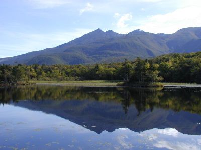
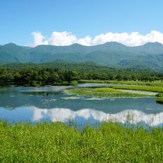
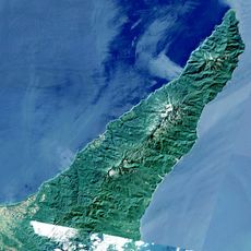
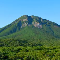
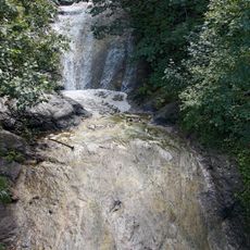
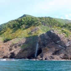
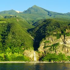
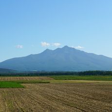
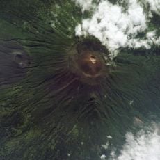
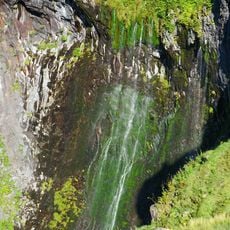
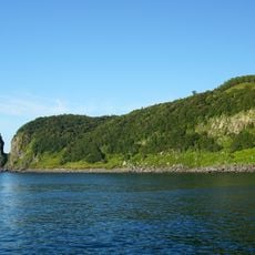
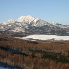
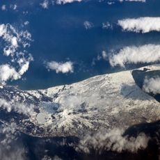
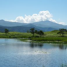
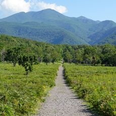
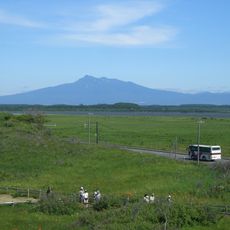
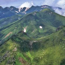
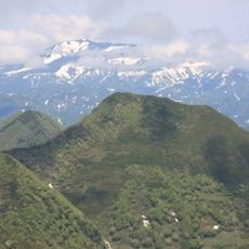
Shiretoko National Park is a national park in eastern Hokkaido covering roughly 386 square kilometers, stretching across a landscape with volcanic mountains, thick forests, and rocky coastlines. The northern areas are only reachable on foot or by boat, as roads do not extend beyond three-quarters of the peninsula.
The park was created in 1964 by Japan's Ministry of Environment and later designated a UNESCO World Heritage Site in 2005. This recognition honored the area's value as a natural landscape of global importance.
The name comes from the Ainu language and means 'the place where the earth protrudes into the ocean', reflecting how indigenous people understood the peninsula's geography.
The best conditions for exploring run from May through September, when weather is most stable and trails are easiest to navigate. Wear sturdy shoes, as paths lead through forests and over rocky terrain.
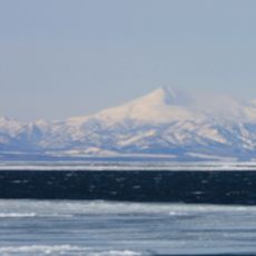
In winter, the Sea of Okhotsk brings drift ice to the coast, marking Japan's southernmost point for this phenomenon and making the region an uncommon sight. Visitors can witness these floating ice masses, an experience rare in Japan.
The community of curious travelers
AroundUs brings together thousands of curated places, local tips, and hidden gems, enriched daily by 60,000 contributors worldwide.