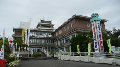
Saito, Administrative center in Miyazaki Prefecture, Japan.
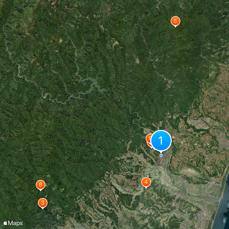
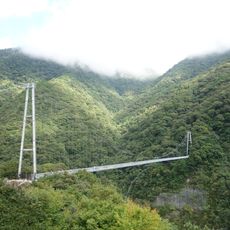
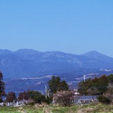
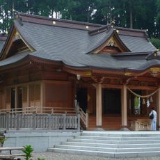
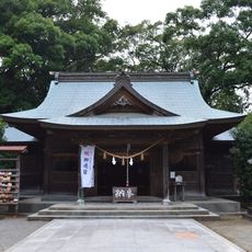
Saito is a city located in Miyazaki Prefecture in southeastern Japan, built across a hilly and forested region. The landscape consists of green mountains, river valleys, and patches of flat farmland where communities and agricultural fields are concentrated.
The city was created in 1958 through the merger of several smaller towns and villages into a single administrative unit. This consolidation brought together rural communities with separate traditions into one city government.
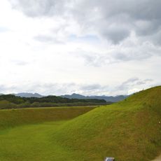
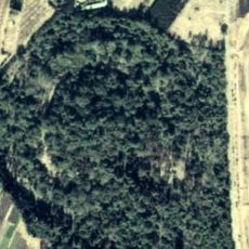
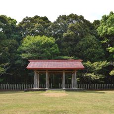
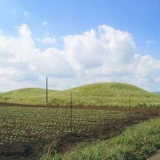
The Saitobaru Kofun Cluster consists of over 300 ancient burial mounds scattered across the landscape, built when tribal leaders and important people were laid to rest here. Walking through the area today, you can still see these earthen mounds rising from the fields, creating a sense of connection to centuries-old burial practices.
The area is characterized by mountains and river valleys, so roads in the countryside can be winding and require careful driving, especially away from the main town center. It's best to allow extra travel time when exploring the surrounding communities and agricultural areas.
The region has a strong agricultural focus on growing specialized vegetables such as green peppers, cucumbers, and sweet corn that form the backbone of the local economy. These crops shape both the visual character of the rural landscape and the daily work of farming families throughout the area.
The community of curious travelers
AroundUs brings together thousands of curated places, local tips, and hidden gems, enriched daily by 60,000 contributors worldwide.