Japan National Route 16, Ring road in Kanagawa Prefecture, Japan
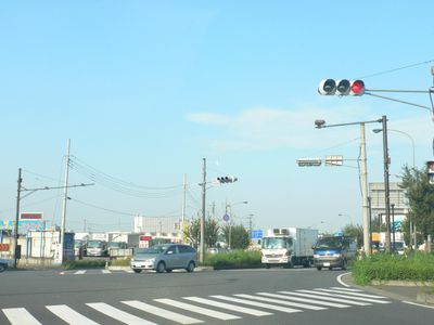
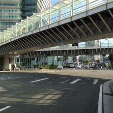
National Route 16 is a 241-kilometer (150-mile) ring road connecting Yokohama, Saitama, Chiba, and Hachioji through several prefectures in the Kanto region. The route passes through residential and industrial areas, skirting cities and smaller towns scattered around Tokyo.
The route was established in 1952, incorporating parts of the former National Highway 45 from 1887 and National Highway 31 from 1920. It was extended to Kisarazu in 1963 to connect more places in the region.
The road's name refers to its shape: a ring route linking residential areas, factories, and shopping centers across greater Tokyo. Commuters use it daily, while trucks carry goods between industrial facilities and ports.
The road crosses several major expressways, including the Tohoku, the Kan-etsu, and the Tomei, providing access to different parts of the Kanto region. Traffic is often heavy, especially during rush hours and near urban centers.
The route connects 74 municipalities and supports industrial plants that reached high production values in the 1990s. Many drivers know it as a reference line to navigate the dense road network of the capital region.
The community of curious travelers
AroundUs brings together thousands of curated places, local tips, and hidden gems, enriched daily by 60,000 contributors worldwide.