Nishimera, village in Koyu district, Miyazaki prefecture, Japan
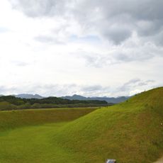
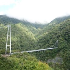
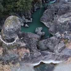
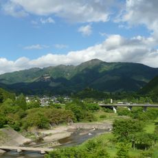
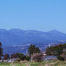
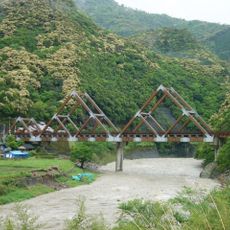
Nishimera is a small village in the Koyu district of Miyazaki Prefecture that spreads across forested mountain landscapes. The settlement consists of several tiny hamlets with traditional wooden houses, narrow pathways, and simple shops that reflect daily community life.
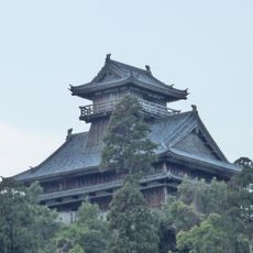
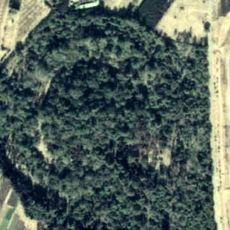
The village was founded centuries ago and remained under control of local noble families like the Mera clan, who built a castle in a nearby hamlet. During the Edo period, the region became part of a larger domain and kept this structure until Japan modernized.
The name Nishimera reflects a place shaped by generations of farming families. Throughout the year, residents gather for seasonal celebrations where traditional music, dancing, and shared meals keep local customs alive in the community.
The village is best visited by car or bicycle since public transportation is limited and there is no local train station. Comfortable walking shoes are recommended because pathways are narrow and hilly.
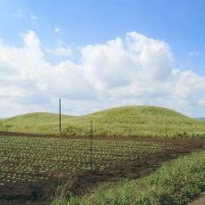
The village is known for growing yuzu fruit, a fragrant citrus prized in Japanese cuisine for flavoring dishes and making sauces. This local specialty shapes the farming practices and daily routines of residents.
The community of curious travelers
AroundUs brings together thousands of curated places, local tips, and hidden gems, enriched daily by 60,000 contributors worldwide.