
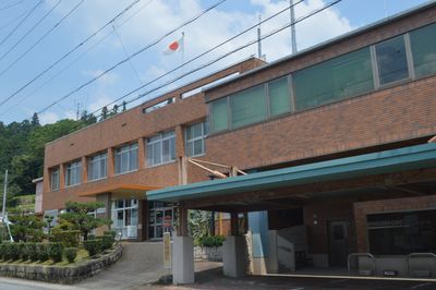
Toei, town in Kitashitara District, Aichi Prefecture, Japan
Location: Kitashitara district
Inception: April 1, 1955
Website: https://www.town.toei.aichi.jp/
Shares border with: Shinshiro, Shitara, Toyone, Hamamatsu
Website: https://town.toei.aichi.jp
GPS coordinates: 35.07692,137.69781
Latest update: May 27, 2025 11:32
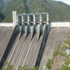
Sakuma Dam
9.1 km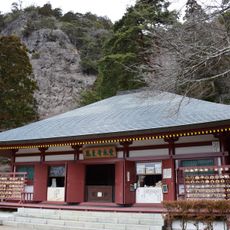
Hōrai-ji
14.9 km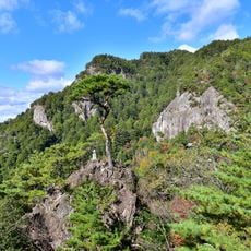
Mount Horaiji
14.7 km
Hōraisan Tōshō-gū
14.8 km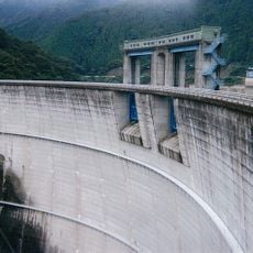
Shintoyone Dam
7.9 km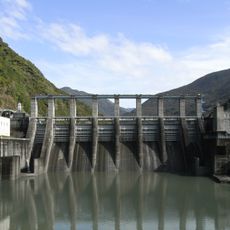
Akiba Dam
16.6 km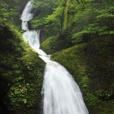
Atera Seven Falls
14.9 km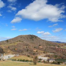
Chausuyama Plateau
16.8 km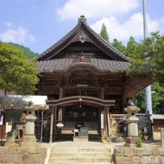
Damine Kannon
15.3 km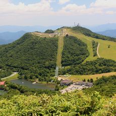
Mount Hagitaro
15.7 km
Houraijisan Museum of Natural History
15.9 km
Shitara Town Okumikawa Local Material Museum
11.6 km
煮え渕ポットホール
4.1 km
Mount Ure
10.9 km
Kumagai House (Toyone)
7.5 km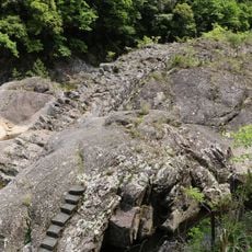
Uma-no-seiwa
14.4 km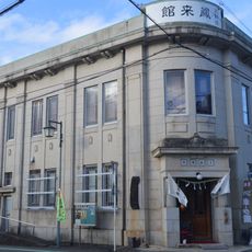
大野宿鳳来館
16.4 km
Hamamatsushiritsusakuma Library
10.4 km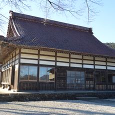
日光寺
15.3 km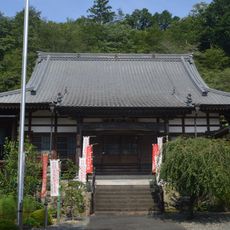
龍洞院
683 m
預り渕ポットホール
4.7 km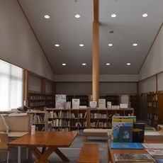
Shitara Town Library
11.8 km
Tsugu Green Plaza
12 km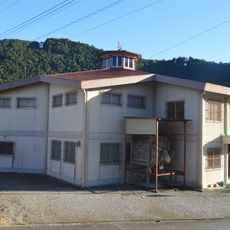
Hanamatsuri Kaikan
1.2 km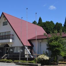
Toei Town Museum
1.2 km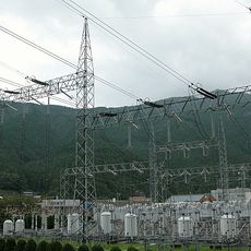
Sakuma Frequency Converter Station
9.3 km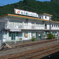
Sakuma Rail Park
9.6 km
Chiiwa Gorge
6.4 kmReviews
Visited this place? Tap the stars to rate it and share your experience / photos with the community! Try now! You can cancel it anytime.
Discover hidden gems everywhere you go!
From secret cafés to breathtaking viewpoints, skip the crowded tourist spots and find places that match your style. Our app makes it easy with voice search, smart filtering, route optimization, and insider tips from travelers worldwide. Download now for the complete mobile experience.

A unique approach to discovering new places❞
— Le Figaro
All the places worth exploring❞
— France Info
A tailor-made excursion in just a few clicks❞
— 20 Minutes