Chest opened
+${chestReward.xp} XP
Explorer
NOUVEAU ×${chestReward.collectible.quantity}
tapez pour fermer
Chest locked

Open chests in the app

Around Us is built for your phone — chests unlock when you walk, explore and capture nearby places.

Enable Location

We need your location to show you interesting places around you

Discover nearby places

Find interesting locations and hidden gems around you

Precise directions

Get accurate directions and distances to places

Your location is never shared with other users. It's only used when you tap the location button.

Mount Yari

Log in to your account

Start exploring — it's free

Trusted by 72,893 travelers worldwide

Continue with Google
Continue with Apple
or

We will send you a code to connect

By continuing, you accept our Terms and Conditions and our Privacy Policy

Check your inbox

We've sent a pincode in your inbox. Please enter the code below.

Mount Yari
Discussion Reviews 4 Photos
83.9k Popularity

Mount Yari, Mountain peak in Nagano Prefecture, Japan.

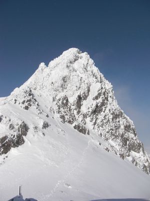
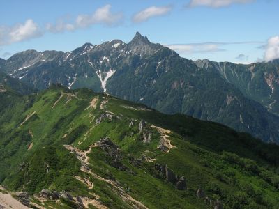
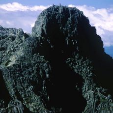
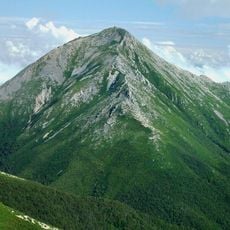
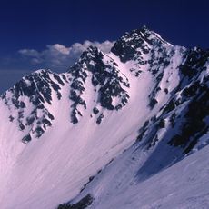
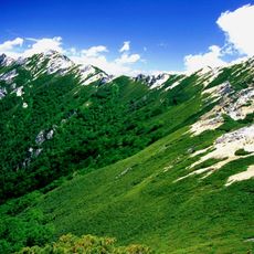
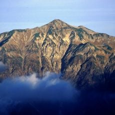
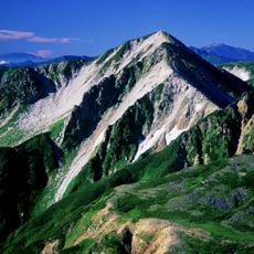
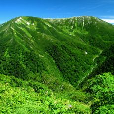
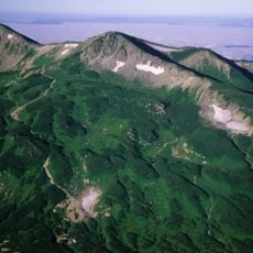
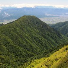
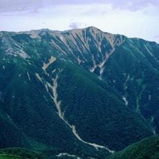
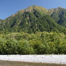
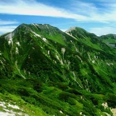
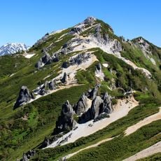
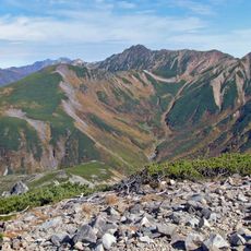
Mount Yari rises to 3,180 meters (10,433 feet) and forms a sharp point in the Northern Alps of Japan between Matsumoto and Ōmachi. The rock faces drop almost vertically on several sides and give the mountain its pyramid-like silhouette.

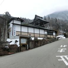
Buddhist priest Banryu reached the summit on July 28, 1828, as the first documented climber and built a small shrine there. The peak later became an important destination for religious pilgrims and then for mountaineers from across Japan.

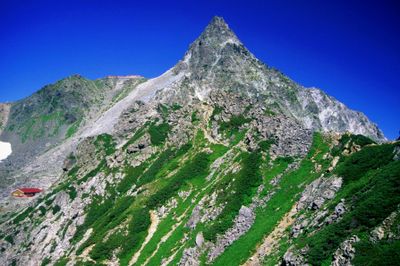
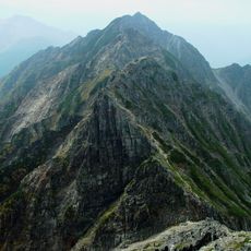
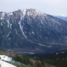
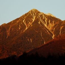
The summit resembles an upright spear in shape and is often compared to the Matterhorn by those who climb here. Mountaineers use the hut just below the highest point as a base for the final steep ascent in the early morning.

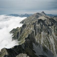
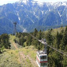
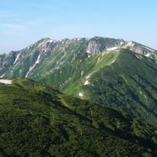
The ascent follows several routes with different difficulty levels, with the final section to the summit crossing steep rock ledges. A mountain hut about 180 meters (590 feet) below the highest point offers overnight stays and a rest before the final climb.

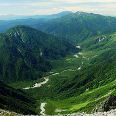
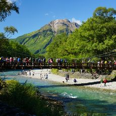
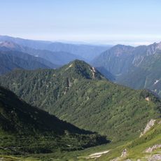
The Azusa River begins here and later becomes the Shinano, the longest waterway in Japan, flowing all the way to the Sea of Japan. Meltwater gathers in small streams on the upper slopes and starts its long journey through the valleys.

The community of curious travelers

AroundUs brings together thousands of curated places, local tips, and hidden gems, enriched daily by 60,000 contributors worldwide.

Start exploring
Location
Location
Location
Elevation above the sea
3,180 m
Part of
100 Famous Japanese Mountains
GPS coordinates
36.34194,137.64750
Latest update
December 13, 2025 16:18
Reviews
Share your experience

No review yet

Discussions
Start a discussion...

No discussion yet

« Mount Yari - Mountain peak in Nagano Prefecture, Japan » is provided by Around Us (aroundus.com). Images and texts are derived from Wikimedia project under a Creative Commons license. You are allowed to copy, distribute, and modify copies of this page, under the conditions set by the license, as long as this note is clearly visible.

Discover hidden gems everywhere you go!

From secret cafés to breathtaking viewpoints, skip the crowded tourist spots and find places that match your style. Our app makes it easy with voice search, smart filtering, route optimization, and insider tips from travelers worldwide. Download now for the complete mobile experience.

Around Us App Screenshot

A unique approach to discovering new places

Le Figaro

All the places worth exploring

France Info

A tailor-made excursion in just a few clicks

20 Minutes

Around Us
Travel Guide & Maps
Download

Send to your phone

QR Code
1

Open the camera app on your mobile.

2

Point at the QR code with your camera. A notification will appear.

3

Tap the notification to open the link.