Enable Location

We need your location to show you interesting places around you

Discover nearby places

Find interesting locations and hidden gems around you

Precise directions

Get accurate directions and distances to places

Your location is never shared with other users. It's only used when you tap the location button.

Mount Wakakusa

Log in to your account

Start exploring — it's free

Trusted by 62,828 travelers worldwide

Continue with Google
Continue with Apple
or

We will send you a code to connect

By continuing, you accept our Terms and Conditions and our Privacy Policy

Check your inbox

We've sent a pincode in your inbox. Please enter the code below.

Mount Wakakusa

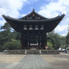
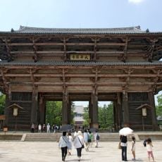
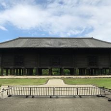
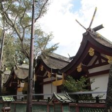
Mount Wakakusa, Mountain summit in Nara Park, Japan.

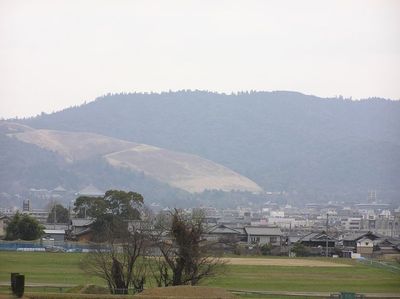
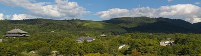
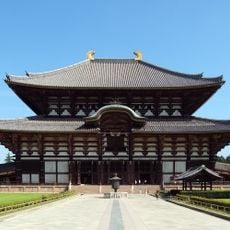
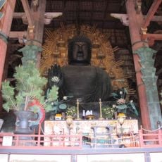
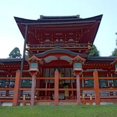
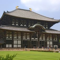
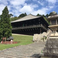
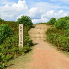
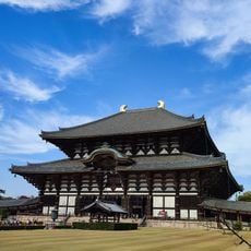
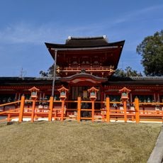
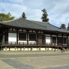
Mount Wakakusa rises 342 meters (1,120 feet) above Nara, located in the eastern section of Nara Park between Todaiji Temple and Kasuga Shrine. The slopes are covered in grass, and the summit offers views across the city and surrounding temple complexes.

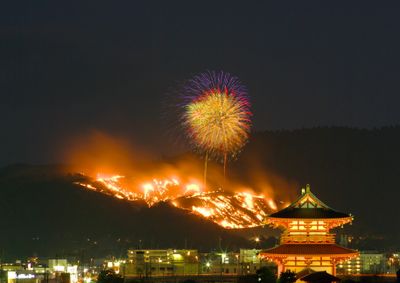
In 1760, the mountain became the center of a territorial dispute between Todaiji and Kofuku-ji temples, leading to the establishment of the annual burning tradition. This practice has been maintained for centuries as a way to settle the dispute and preserve the grassland.

The mountain is deeply connected to the Yamayaki festival, a major event held on the fourth Saturday of January when the entire grass-covered slope burns in a controlled ceremony. Visitors experience this tradition firsthand and see how the burning ritual holds meaning for the temples and local community.

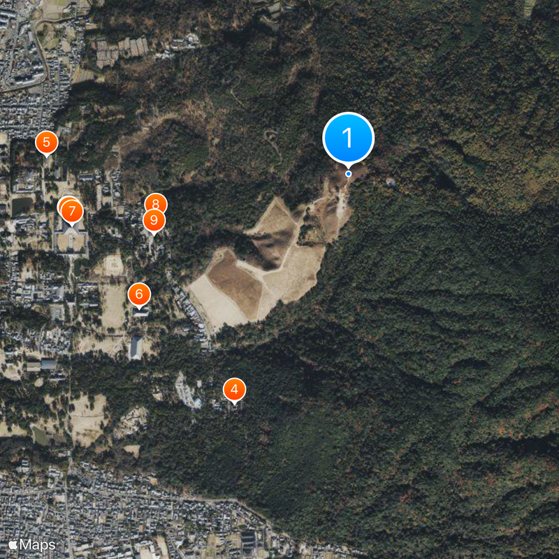
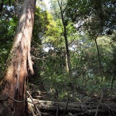
The climb takes about 40 minutes using a marked trail with rest areas positioned along the way. The mountain closes from mid-December to mid-March each year to allow the grass to regenerate after the burning ceremony.

The site uses a controlled burning technique called Yamayaki to prevent the grassland from becoming overgrown with shrubs and trees. This method, developed over 250 years ago from a temple dispute, is one of few traditional fire management practices still actively used in Japan today.

The community of curious travelers

AroundUs brings together thousands of curated places, local tips, and hidden gems, enriched daily by 60,000 contributors worldwide.

Start exploring
Location
Elevation above the sea
342 m
Part of
Nara 100 Mountains
GPS coordinates
34.69117,135.85426
Latest update
December 20, 2025 00:19
« Mount Wakakusa - Mountain summit in Nara Park, Japan » is provided by Around Us (aroundus.com). Images and texts are derived from Wikimedia project under a Creative Commons license. You are allowed to copy, distribute, and modify copies of this page, under the conditions set by the license, as long as this note is clearly visible.

Discover hidden gems everywhere you go!

From secret cafés to breathtaking viewpoints, skip the crowded tourist spots and find places that match your style. Our app makes it easy with voice search, smart filtering, route optimization, and insider tips from travelers worldwide. Download now for the complete mobile experience.

Around Us App Screenshot

A unique approach to discovering new places

Le Figaro

All the places worth exploring

France Info

A tailor-made excursion in just a few clicks

20 Minutes

Around Us
Travel Guide & Maps
Download

Send to your phone

QR Code
1

Open the camera app on your mobile.

2

Point at the QR code with your camera. A notification will appear.

3

Tap the notification to open the link.