Rift Valley Province, Administrative province in central Kenya
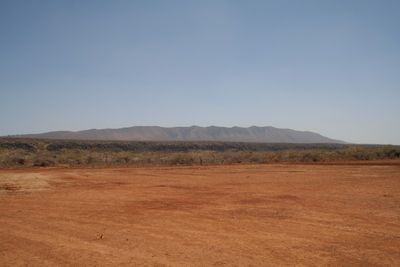
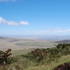
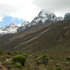
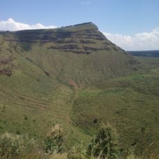
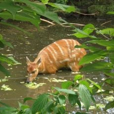
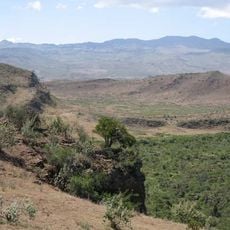
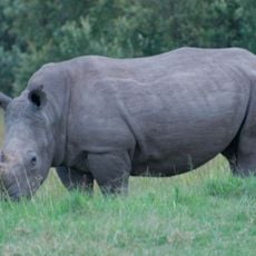
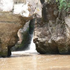
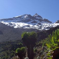
The Rift Valley Province spreads across a major tectonic boundary, displaying a landscape of lakes, volcanic peaks, and shifting terrain that ranges from dry plains to fertile valleys. The topography changes notably as you travel through, with varied ecological zones creating distinct environments throughout.
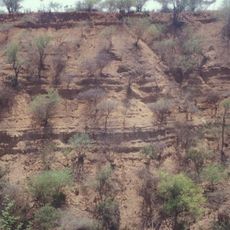
The Tugen Hills hold fossils embedded in lava layers that date back 14 to 4 million years, revealing details about early human development. These geological records offer windows into a period crucial to understanding where humans came from.
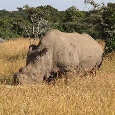
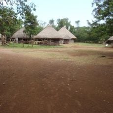
The Maasai people move their herds across the grasslands following patterns that have shaped this region for generations. You can see this pastoral way of life woven into the daily rhythm of the land.
Nakuru functions as the main transportation hub, with improved road networks that connect different parts of the province. These routes make it easier to reach various attractions and move between regions.
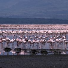
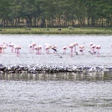
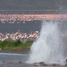
Lake Bogoria holds geysers and hot springs along its western shore, creating rare conditions for wildlife. These warm mineral-rich waters attract thousands of flamingos that congregate to feed in ways you would not see elsewhere.
The community of curious travelers
AroundUs brings together thousands of curated places, local tips, and hidden gems, enriched daily by 60,000 contributors worldwide.