Rovieng District, district of Cambodia
Location: Preah Vihear Province
GPS coordinates: 13.38750,105.12490
Latest update: March 7, 2025 04:10
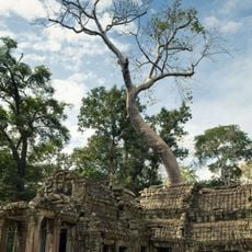
Ta Prohm
133.9 km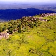
Preah Vihear Temple
121.7 km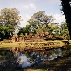
Banteay Srei
128 km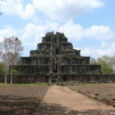
Koh Ker
77.7 km
Khone Phapheng Falls
112.9 km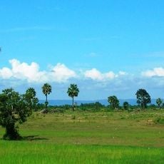
Phnom Kulen
112.4 km
ผามออีแดง
121.9 km
Phnom Kulen National Park
114 km
Banteay Kdei
132.9 km
Ta Keo
134.7 km
Khao Phra Wihan National Park
125.1 km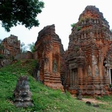
Roluos
124.9 km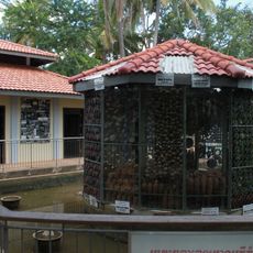
Cambodian Landmine Museum
128.8 km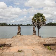
Srah Srang
132 km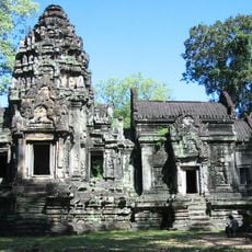
Thommanon
135.2 km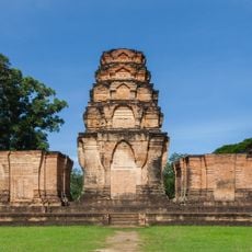
Prasat Kravan
132.7 km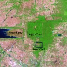
East Baray
130.4 km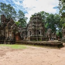
Chau Say Tevoda
135.2 km
Phu Chong-Na Yoi National Park
130.6 km
Phnom Kong Rei
127.4 km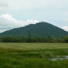
Phnom Dei
125.7 km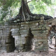
Spean Thma
135.2 km
Angkor Panorama Museum
134.8 km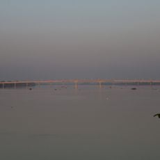
Stung Treng Bridge
89.2 km
Kutisvara
132.8 km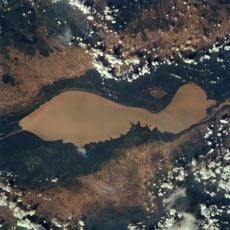
Tonle Sap
124.3 km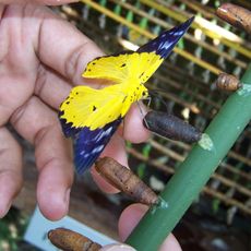
Banteay Srey Butterfly Centre
128.9 km
Phou Dènmuang (tumoy sa bukid)
106.7 kmReviews
Visited this place? Tap the stars to rate it and share your experience / photos with the community! Try now! You can cancel it anytime.
Discover hidden gems everywhere you go!
From secret cafés to breathtaking viewpoints, skip the crowded tourist spots and find places that match your style. Our app makes it easy with voice search, smart filtering, route optimization, and insider tips from travelers worldwide. Download now for the complete mobile experience.

A unique approach to discovering new places❞
— Le Figaro
All the places worth exploring❞
— France Info
A tailor-made excursion in just a few clicks❞
— 20 Minutes