Svay Rieng Municipality, district of Cambodia
Location: Svay Rieng Province
GPS coordinates: 11.16670,105.66700
Latest update: March 3, 2025 20:00

Long An
78 km
Black Virgin Mountain
60 km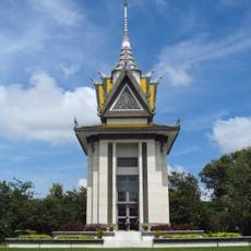
Choeung Ek
90.7 km
Chankiri Tree
90.7 km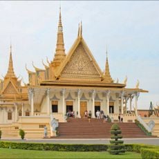
Royal Palace
91.7 km
Tram Chim National Park
51.8 km
Sun World BaDen Mountain
60.2 km
Parliament of Cambodia
90.7 km
Dau Tieng Reservoir
79.8 km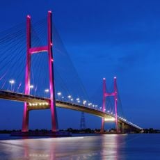
Cao Lanh Bridge
84 km
Gò Tháp
65.8 km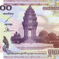
Independence Monument, Phnom Penh
91.6 km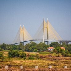
Neak Loeung Bridge
44.1 km
Parrot's Beak, Cambodia
40.1 km
Aeon Mall Phnom Penh
90.7 km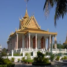
Silver Pagoda, Phnom Penh
91.6 km
Angkor Borei and Phnom Da
77.4 km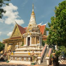
Wat Botum
91.5 km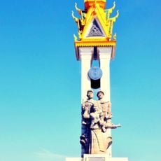
Cambodia–Vietnam Friendship Monument
91.2 km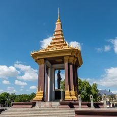
Norodom Sihanouk Memorial
91.4 km
Norodom Boulevard
90.9 km
Queen of Peace Cathedral, Long Xuyên
90.9 km
Monivong Bridge
89.8 km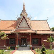
Angkor Borei Museum
77.7 km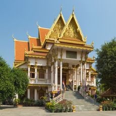
Wat Langka
91.6 km
Ta Khmao Bridge
84.2 km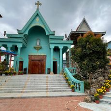
Category:Sanctuaire Marie Reine de la Paix Areyksat
89.7 km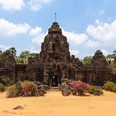
Ta Prohm Tonle Bati
91.6 kmReviews
Visited this place? Tap the stars to rate it and share your experience / photos with the community! Try now! You can cancel it anytime.
Discover hidden gems everywhere you go!
From secret cafés to breathtaking viewpoints, skip the crowded tourist spots and find places that match your style. Our app makes it easy with voice search, smart filtering, route optimization, and insider tips from travelers worldwide. Download now for the complete mobile experience.

A unique approach to discovering new places❞
— Le Figaro
All the places worth exploring❞
— France Info
A tailor-made excursion in just a few clicks❞
— 20 Minutes