Ta Veaeng District, district of Cambodia
Location: Ratanakiri Province
GPS coordinates: 14.29192,107.24031
Latest update: March 6, 2025 11:16
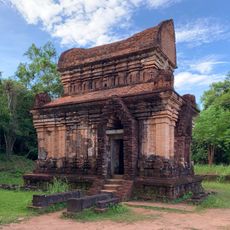
Mỹ Sơn
189.4 km
Măng Đen
118.3 km
Khone Phapheng Falls
140.3 km
Vat Phou
165.5 km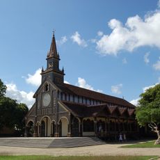
Kontum Cathedral
83.6 km
Yok Don National Park
172.1 km
Sa Huỳnh
201.6 km
Thap Duong Long
193.3 km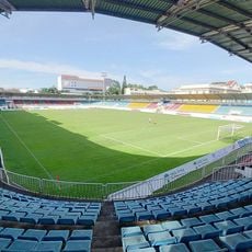
Pleiku Stadium
89.6 km
Virachey National Park
26.4 km
Đồng Dương
189.8 km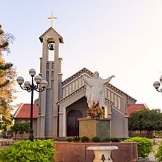
Sacred Heart Cathedral, Buôn Ma Thuột
199.4 km
Champasak cultural landscape
166.5 km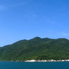
Cu Lao Cham Marine Park
163.5 km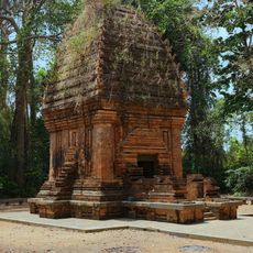
ヤンプロン塔
136.3 km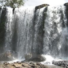
Bou Sra Waterfall
192.9 km
Phnom Prich Wildlife Sanctuary
180.7 km
Champasak Palace
180 km
Dak Bla Bridge
82.2 km
Stung Treng Bridge
164.7 km
Xe Pian National Protected Area
130.4 km
Wat Luang
180.7 km
Pakse Bridge
178.5 km
Tad Yuang
154.4 km
Phou N'droni
41.8 km
Phou Paao
187 km
Phou Niang (tahud sa bukid sa Laos)
146.7 km
Tad Fane Waterfall
155.2 kmReviews
Visited this place? Tap the stars to rate it and share your experience / photos with the community! Try now! You can cancel it anytime.
Discover hidden gems everywhere you go!
From secret cafés to breathtaking viewpoints, skip the crowded tourist spots and find places that match your style. Our app makes it easy with voice search, smart filtering, route optimization, and insider tips from travelers worldwide. Download now for the complete mobile experience.

A unique approach to discovering new places❞
— Le Figaro
All the places worth exploring❞
— France Info
A tailor-made excursion in just a few clicks❞
— 20 Minutes