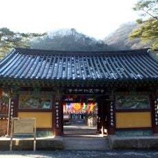
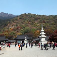
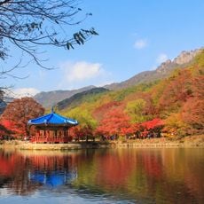
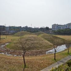
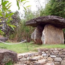
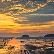
Jangseong County, administrative division of South Korea
Location: South Jeolla
Website: http://www.jangseong.go.kr/english-2004/index.html
Website: http://jangseong.go.kr/english-2004
GPS coordinates: 35.29778,126.78444
Latest update: April 16, 2025 12:07
Gochang, Hwasun and Ganghwa Dolmen Sites
39.1 km
Soswaewon
23.9 km
Asian Culture Center
20.8 km
Seonunsa
29 km
Baegyangsa
18.1 km
Naejangsan
22.2 km
Piram Seowon
3.3 km
Gwangju Mudeung Baseball Stadium
17.1 km
Naejangsan National Park
18.1 km
Gwangju Wolgye-dong Janggobun
10.7 km
Gwangju Metropolitan Office of Education
18.8 km
Mudeungsan National Park
25.3 km
Gwangju National Museum
15.1 km
Gwangju Mudeung Stadium
17.3 km
Gwangju Student Independence Movement Memorial Hall
18.9 km
Old Provincial Government Main Building of Jeollanam-do
20.9 km
아쿠아나 화순
31.1 km
Myeonangjeong Pavilion
16.1 km
Myeongokhean Garden
21.1 km
Gwangju Folk Museum
15.8 km
Wongaksa
20.3 km
Gwangju Museum of Art
15.7 km
光州広域市選挙管理委員会
16.8 km
Korea Bamboo Museum
17.5 km
Seated Stone Yeorae Statue in Yuchon-dong, Gwangju
15.9 km
Naejangsan Maple Tree Tunnel
23.9 km
Gochang Dolmen Site
20 km
Gochang tidal flats
36.3 kmReviews
Visited this place? Tap the stars to rate it and share your experience / photos with the community! Try now! You can cancel it anytime.
Discover hidden gems everywhere you go!
From secret cafés to breathtaking viewpoints, skip the crowded tourist spots and find places that match your style. Our app makes it easy with voice search, smart filtering, route optimization, and insider tips from travelers worldwide. Download now for the complete mobile experience.
A unique approach to discovering new places❞
— Le Figaro
All the places worth exploring❞
— France Info
A tailor-made excursion in just a few clicks❞
— 20 Minutes