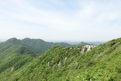
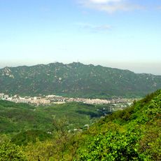
Surisan, Nature reserve and mountain peak in Anyang-si, South Korea.
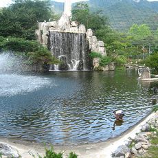
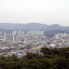
Surisan is a mountain in Anyang-si, South Korea, set within a protected woodland area that covers rocky ridges and forested slopes. A network of marked trails connects several entry points and crosses different types of terrain along the way.
In February 1951, during the Korean War, American and Turkish forces fought against Chinese troops on these slopes. The battle left a mark on the area that is still part of local memory today.
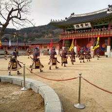
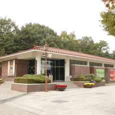
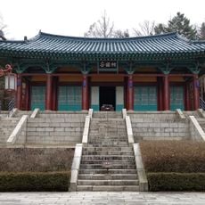
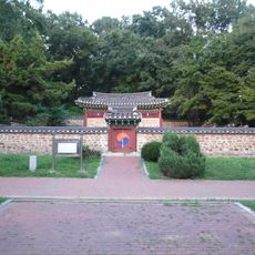
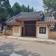
Two Buddhist temples, Sangyeon-sa and Yongjin-sa, sit quietly within the forested slopes and are easy to come across while following the trails. Both are active places of worship, and visitors often stop there to rest and observe daily rituals.
The mountain can be reached from several sides, and the entry points are well connected to public transport. Trails range from easy forest paths to steeper sections over rocky ground, so sturdy footwear is a good idea.
The Tae-Eul peak casts a shadow at sunrise that resembles the shape of an eagle against the distant Gwangju Mountain Range. This effect only appears in clear weather and only in the early morning, which makes it a reward for early starters.
The community of curious travelers
AroundUs brings together thousands of curated places, local tips, and hidden gems, enriched daily by 60,000 contributors worldwide.