Yongchupokpo, Waterfall in Gapyeong, Gyeonggi Province, South Korea
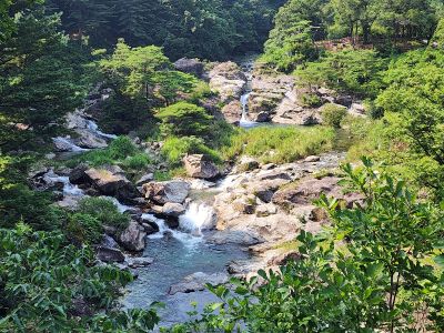
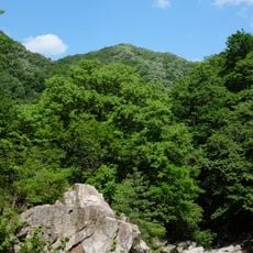
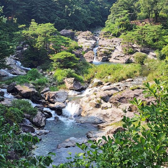
Yongchupokpo is a waterfall dropping about 23 meters through a valley surrounded by dense forest and natural rock faces in Gyeonggi Province. The water flows with an emerald hue as it descends, with curved trails winding through the surrounding landscape.
Yongchupokpo is a waterfall in Gapyeong County, Gyeonggi Province, about 50 km northeast of Seoul, at 135 m above sea level. The surrounding terrain is mountainous, with Ongnyeo-bong rising to 512 m about 1.1 km to the southwest. The nearby town of Gapyeong lies 3.7 km to the northeast. The area is forested and has a continental climate averaging 10 °C.
The name Yongchupokpo combines yong (dragon), chu (pond) and pokpo (waterfall), linking the 23-metre fall to the dragon-pond motif common in Korean place names. The waterfall lies in Gapyeong County, Gyeonggi Province, about 50 km northeast of Seoul and 3.7 km from Gapyeong town, below Ongnyeo-bong (512 m).
The site is accessible via a marked trail at Yongchu-ro 508-7, with warmer months offering the best conditions for visiting and exploring. The paths are easier to navigate during this season and water flow is stronger than at other times of year.
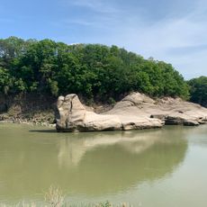
The valley and its rock formations create a natural pattern resembling a dragon's path, which is why it is known as Yongchu Gugok in regional geographical records. This name reflects how the natural shape of the terrain impressed itself on people's understanding of the place.
The community of curious travelers
AroundUs brings together thousands of curated places, local tips, and hidden gems, enriched daily by 95,093 contributors worldwide.