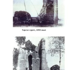
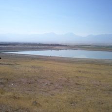
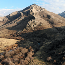
Akyrtas, Archaeological site in Jambyl Region, Kazakhstan.
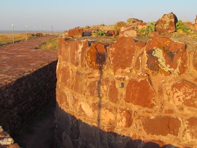
Akyrtas is an archaeological site in the Kazakh steppes with stone ruins scattered across several hectares. The remains show various foundations and walls that reveal how people built and organized structures in this remote location.
This location was built in the 9th and 10th centuries and served as an important point where traders and merchants would stop. It functioned as part of the broader network that connected different commercial regions across Central Asia.
The stone structures here reflect a blend of Persian and Central Asian building styles that developed through centuries of trade and settlement. You can observe how different peoples left their mark on the construction methods used in the stone work.
This site is far from towns and cities, so you should arrange your own transportation and bring food and water before visiting. The open steppe offers little shelter, so prepare for changing weather and bring appropriate clothing and sun protection.
The individual stones used in construction here weigh several tons each, showing the technical skill of ancient builders. Moving and shaping such massive blocks without modern machinery speaks to the engineering knowledge these people possessed.
The community of curious travelers
AroundUs brings together thousands of curated places, local tips, and hidden gems, enriched daily by 60,000 contributors worldwide.