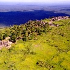
Mounlapamok District, district of Laos
Location: Champasak Province
GPS coordinates: 14.28917,105.56833
Latest update: April 10, 2025 15:24
Preah Vihear Temple
96.5 km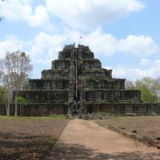
Koh Ker
125.2 km
Khone Phapheng Falls
58.2 km
Vat Phou
67.8 km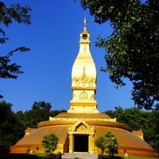
Wat Nong Pa Phong
125.5 km
ผามออีแดง
96.1 km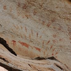
Pha Taem National Park
123.8 km
Khao Phra Wihan National Park
91.7 km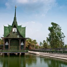
Wat Pa Maha Chedi Kaeo
129.2 km
Wat Sirindhorn Wararam Phu Phrao
96.3 km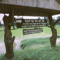
Wat Pah Nanachat
129.8 km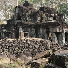
Preah Khan of Kompong Svay
132.2 km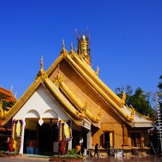
Wat Maha Wanaram
129.8 km
Phu Chong-Na Yoi National Park
33.6 km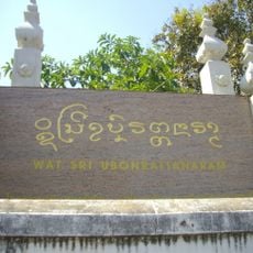
Wat Si Ubon Rattanaram
129.6 km
Champasak cultural landscape
65.5 km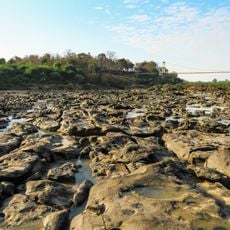
Kaeng Tana National Park
112.7 km
Wat Tai Phra Chao Yai Ong Tue
128.9 km
Wat Thung Si Mueang
129.5 km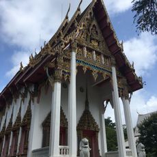
Wat Mani Wanaram
129.6 km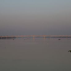
Stung Treng Bridge
93.8 km
Wat Luang
95.9 km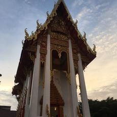
Wat Luang
129.1 km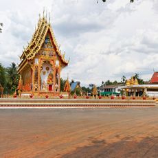
Wat Samrong Kiat
119.3 km
Pakse Bridge
94.9 km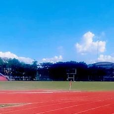
Ubon Rachathani Sports School Stadium
132.3 km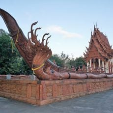
Wat Sa Prasan Suk
131.5 km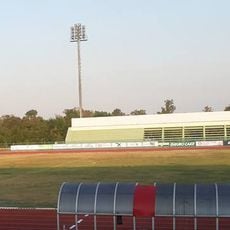
Ubon Ratchathani University Stadium
116.6 kmReviews
Visited this place? Tap the stars to rate it and share your experience / photos with the community! Try now! You can cancel it anytime.
Discover hidden gems everywhere you go!
From secret cafés to breathtaking viewpoints, skip the crowded tourist spots and find places that match your style. Our app makes it easy with voice search, smart filtering, route optimization, and insider tips from travelers worldwide. Download now for the complete mobile experience.

A unique approach to discovering new places❞
— Le Figaro
All the places worth exploring❞
— France Info
A tailor-made excursion in just a few clicks❞
— 20 Minutes