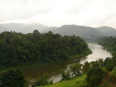
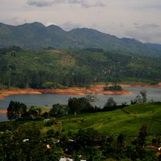
Mahaweli River, River basin in central Sri Lanka
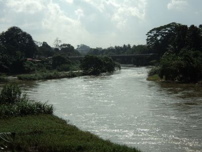
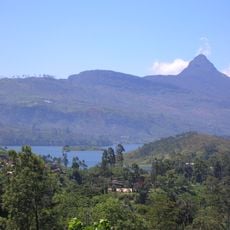
The Mahaweli is Sri Lanka's longest river, flowing about 335 kilometers from the Hatton Plateau through the central highlands to Trincomalee Bay. The water travels through varied landscapes, connecting mountainous regions with flatter areas in the island's eastern section.
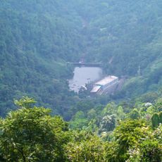
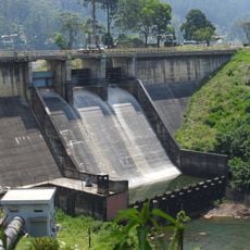
The river system was transformed during the 1970s by the Mahaweli Development Project, which created irrigation networks and dams. This infrastructure reshaped how water was managed and used across the region.
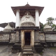
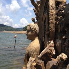
The river shapes how people have settled along its banks and organized their farms over many generations. Visitors can observe traditional irrigation channels and rice paddies that reflect centuries of local knowledge about managing water and land.
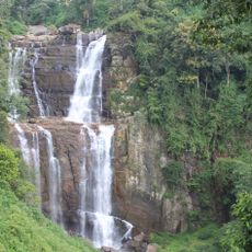
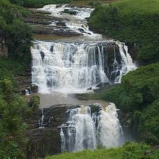
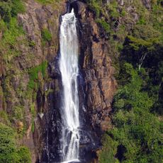
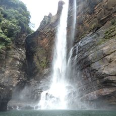
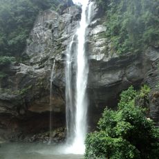
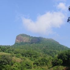
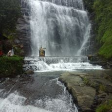
The river is accessible in different sections, with some areas easier to reach than others. The best time to visit is during the dry season, when reservoirs and waterfalls are most visible.
The river drains an area covering roughly one-fifth of Sri Lanka's entire land. This makes it the island's largest water system, supplying water and power to millions.
The community of curious travelers
AroundUs brings together thousands of curated places, local tips, and hidden gems, enriched daily by 60,000 contributors worldwide.